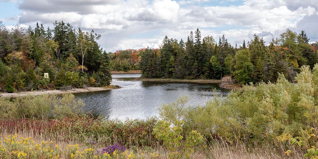
There are so many amazing Milton hiking trails to explore. Milton, Ontario is surrounded by so much land that is protected by the local conservation authority (Conservation Halton), so there are many forest trails, waterfalls, and epic viewpoints to discover. If you don't mind going a little beyond Milton, you may also want to check out these top Burlington hiking trails, Halton Hills hiking trails, and the best Oakville hiking trails.
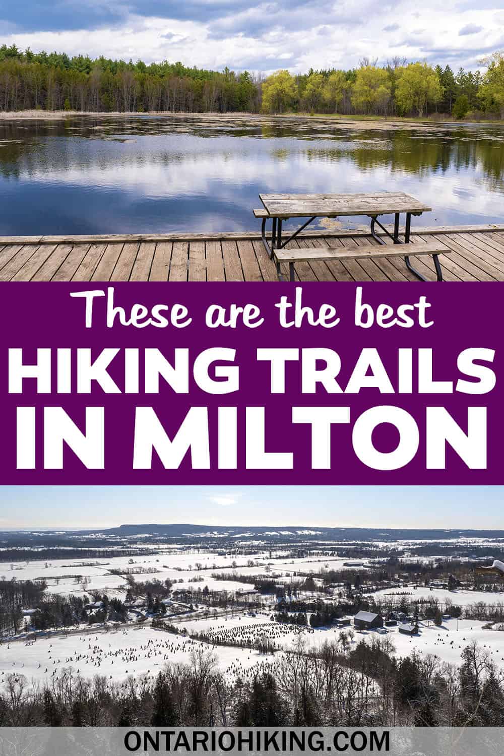
While the majority of the popular trails in Milton to visit are located within conservation areas, there are also some nearby forest tracts and even local parks with paths. Here are the top 10 hiking trails in Milton that you need to check out.
Join the Ontario Hiking Facebook Group
You are also welcome to join our Ontario Hiking Facebook Group - it's a great way to ask questions about hiking in Ontario, share your Ontario hikes, and get inspired!
Come Hiking With Us! Join an Upcoming Group Hike or Tour!
We are so excited to have group hiking adventures within Ontario and beyond. Learn more about how you can join us for a group hiking trip.
Milton Hiking Trails: Rattlesnake Point Conservation Area

Rattlesnake Point Conservation Area is arguably the best place to go hiking in Milton, Ontario. It certainly ranks high on this list of the best Milton hiking trails (although they're listed in no particular order here!). There are many kilometres of trails, several lookout points, and even some boardwalk trails along the way.
There are trails for every ability here, too. You can hike the shorter Vista Adventure Trail or continue on the Nassagaweya Canyon Trail and Buffalo Crag Trail. Go for a longer hike on the Bruce Trail to form a loop or continue hiking to the neighbouring Crawford Lake Conservation Area.
Hiking at Rattlesnake Point Conservation Area is brilliant all year long, although it's particularly spectacular in the fall when you can view the fall foliage. You might even recognize one of the lookout points at Rattlesnake Point Conservation Area as a filming location on Schitt's Creek.
Best Hikes in Milton: Hilton Falls Conservation Area

Hilton Falls Conservation Area is home to some of the best Milton hiking trails, and make sure you explore beyond Hilton Falls itself. There are three main hiking trails: Hilton Falls Trail, the Red Oak Trail, and the Beaver Dam Trail. This park also connects to the Bruce Trail, the 900km trail from Niagara to Tobermory.
Hilton Falls itself is one of the main attractions. When we visited in June, there was only a little trickle of water over the rocky cliff. Venture to Hilton Falls in the spring for a more intense flow of water or visit in the winter to see a frozen waterfall. There's also the ruins of an old mill here.
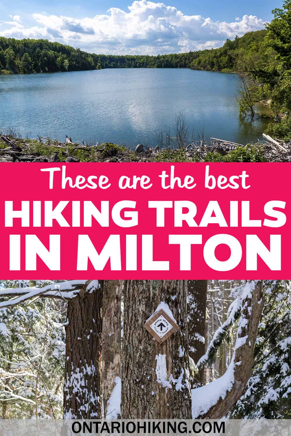
Don't miss viewing the Hilton Falls Reservoir, accessible from the Red Oak Trail. The deep blue waters of the reservoir are really pretty, and this area is more peaceful and less frequented than the waterfall. There's also a scenic lookout point where the water flows down a shallow creek and into the larger body of water.
Hiking Trails in Milton: Crawford Lake Conservation Area

Crawford Lake Conservation Area is a wonderful collection of Milton hiking trails, and you can walk between Crawford Lake and Rattlesnake Point Conservation Area. I suggest making a separate trip to Crawford Lake Conservation Area because it's very pretty and unique by comparison to Rattlesnake Point (although you can hike to both if you want a full day trip).
On the Crawford Lake Trail, you'll walk on an elevated boardwalk path around the lake itself. It's an easy jaunt around a rare meromictic lake, with lots of signage and information about the lake to read on the way.
The Woodland Trail is a lovely walk through the forest, and it connects to several other trails. The Escarpment Trail has a scenic lookout point overlooking the Nassagaweya Canyon. There's also an Iroquoian Village where you can get glimpses into 15th century Indigenous life. A portion of the 15th century Iroquoian village was reconstructed, including three longhouses.
Milton Hiking Trails: Mountsberg Conservation Area

Mountsberg Conservation Area is a fun experience for the whole family. Aside from the hiking trails, there are also many amazing events that take place at Mountsberg. There's the annual maple syrup festival at Mountsberg Conservation Area, the Winterlit Festival (lights and art festival in the winter), and many other conservation based activities throughout the year.
The Lakeshore Lookout Trail features an observation tower on the way with brilliant views overlooking the Mountsberg Reservoir. The Sugarbush Trail meanders through the maple trees, which is the site of the maple syrup festival (you'll see buckets on these trees from February to April). In addition, you can hike on the Pioneer Creek Trail and the Wildlife Walkway.
Mountsberg Conservation Area is also home to adorable farm animals (you can visit the barns and see them outdoors in warm weather) and a raptor centre. There are birds of prey like eagles, hawks, and owls that are rescued and unable to be released back into the wild (whether it's due to an injury or human imprint).
Kelso Conservation Area / Glen Eden

Kelso Conservation Area has a vast network of 29km of biking and hiking trails in Milton, Ontario. You can also go swimming, canoeing, or standup paddleboarding on the Kelso Reservoir in the summer months. In the winter, Kelso transforms into a ski hill with 15 runs called Glen Eden. It's important to note that the hiking trails at Kelso are closed in the winter as it's open purely for skiing.
If you're looking for pure hiking trails in the spring/summer/fall, try walking on the Escarpment and Lime Kiln trails (no bikes allowed on these ones). There are also a few recommended loop hikes on the Kelso Conservation Area trail map (Deer Loop, Fox Loop, Coyote Loop and Eagle Loop). Otherwise, it becomes a bit of a "choose your own adventure" if you want to simply go for a wander.
The Kelso Trail Network is open every year from mid-April to mid-November. If you're looking for winter hikes, check out any of the other Milton hiking trails on this list.
Robert Edmondson Conservation Area

Robert Edmondson Conservation Area is often an overlooked Halton region park, but I think you'll really enjoy this one. It is a shorter hike through the forest, and there's really only one main loop. It can be an incredibly short walk if you only hike the first loop, but it connects to a second loop that makes it more worthwhile.
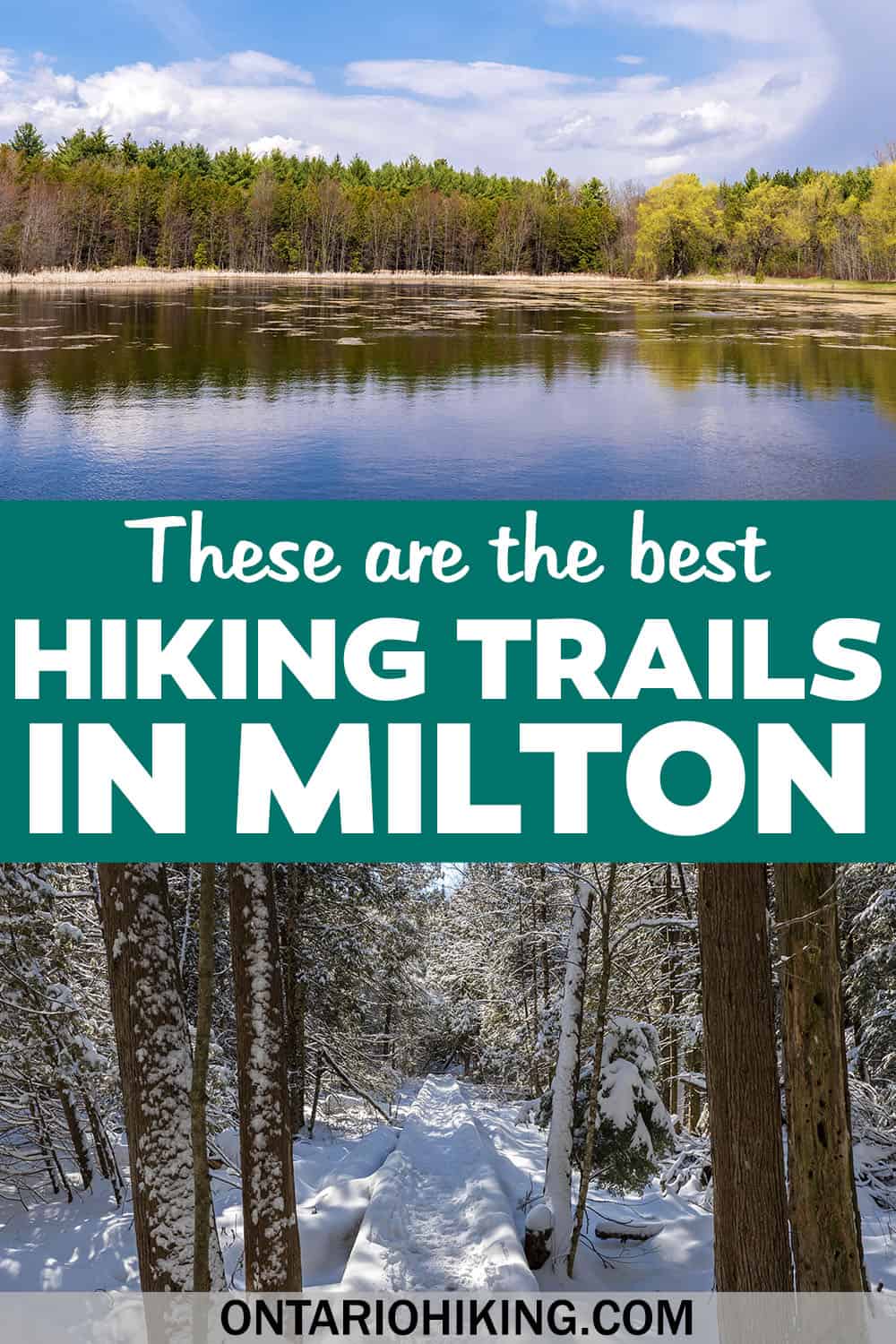
The hike begins at an expansive body of water, which is really beautiful and a great picnicking location. Then, you'll walk across boardwalks and through the forest. I recommend visiting Robert Edmondson Conservation Area in the spring. You might witness some bursts of colour when the marsh marigolds begin to bloom.
Livingston Park & Mill Pond
Right within Milton itself, you'll find a trail around Mill Pond (Livingston Park and Centennial Park). The hiking trail loops around Mill Pond and continues for a short distance beyond the Rotary Park. There are ducks and geese to watch, a little gazebo on the water, and a mature forest to discover. You can also walk along the edge of Sixteen Mile Creek.
Unlike many of the conservation areas in the area, it's free to visit Mill Pond and its parks. The trail is a flat path that's perfect for families with small children. You're also within walking distance of downtown Milton, if you'd like to grab a bite to eat or a coffee after your walk.
Halton Regional Forest: Robertson Tract
Halton's Regional Forests are a collection of 14 tracts, including woodlands, meadows and wetlands. In Milton, one of the best Halton Regional Forests to visit is the Robertson Tract. There's a parking area that leads into the Halton Robertson Tract.
You'll find a few loop trails at the Robertson Tract, as well as one main trail (Robertson Tract Access) that leads to the Britton Tract. There are three other loops dubbed The Den, The Pines, and RNR / Fast and Furious. Here is a trail map for the Robertson Tract, Britton Tract and others.
Halton Regional Forest: Britton Tract
The Britton Tract of the Halton Regional Forest is another one to explore, and it's accessible from Hilton Falls Conservation Area. There are also two separate parking lots on Sixth Line should you want access directly to the forest itself without walking through Hilton Falls.
The Britton Tract Loop is one main loop (4.5km) and you can follow the map that I posted above or this hiking map on AllTrails. These Milton Hiking Trails are free to visit and parking is also free. They'll also be a little less frequented than the more popular conservation areas.
The Bruce Trail

The Bruce Trail is a famous hiking trail in southern Ontario that runs for 900km between Tobermory and Niagara. A section of the Bruce Trail extends through Milton, including several of its conservation areas that I mentioned above. The Bruce Trail in Milton continues from the Iroquoia Section of the Bruce Trail of the Toronto Section of the Bruce Trail.
If you walked on the Bruce Trail continuously in Milton, you'd venture through the Crawford Forestry Tract, Crawford Lake Conservation Area, Rattlesnake Point Conservation Area, Kelso Conservation Area, Hilton Falls Conservation Area, and along the edge of the Niagara Escarpment towards the Speyside Resource Management Area. Beyond that, you'll be walking through Halton Hills and Georgetown.
Map of Milton Hiking Trails

Would you like to view these Milton hiking trails visually on a map? Here is a map of the best hiking trails in Milton, including all of the conservation areas and trails that I mentioned above. Use this map to help plan your future hiking trips.
What to Bring on a Hike
A proper pair of hiking shoes is an absolute must. It’s also a good idea to bring sunscreen and lots of water, too. My water bottle of choice is the GRAYL Purifier because you can drink ANY water from any source, no matter what. Water from lakes, streams, rivers, public restrooms, you name it. It's the world's fastest portable purifier.
Don’t forget to pack some bug spray because there can be biting bugs depending on the time of year. Even if there aren't any signs, it’s safe to assume that ticks are all over Ontario hiking trails. Protect yourself against ticks by reading our guide to avoiding ticks on the trails.
For amazing deals on hiking products like backpacks, boots, clothing, and gear, check out the Decathlon Canada shop!
More Hiking Trails in Halton Region
If you’re seeking more hiking trails beyond Oakville in Halton Region, we’ve got you covered! Here are some of the best trails in Halton:
- Bronte Creek Provincial Park
- Sixteen Mile Creek Trail in Oakville
- Kerncliff Park in Burlington
- Royal Botanical Gardens Bridle Loop Trail in Burlington
- Mount Nemo Conservation Area in Burlington
- Limehouse Conservation Area in Halton Hills
- Silver Creek Conservation Area in Halton Hills
- Scotsdale Farm in Halton Hills
| Follow Ontario Hiking on Social Media! Instagram | Facebook | Twitter | Pinterest | Newsletter | Join the Community |
Become an Ontario Hiking Supporter!
Join the Ontario Hiking Patreon and you'll become a VIP member of the Ontario Hiking community! You'll receive ad-free, downloadable hiking guides with new guides added weekly. Plus, there are many more perks! Become an Ontario Hiking Supporter today!

Check out the Ontario Hiking Shop!
Inspired by adventures and nature. Ontario hiking and Bruce Trail apparel & accessories, designed by me.