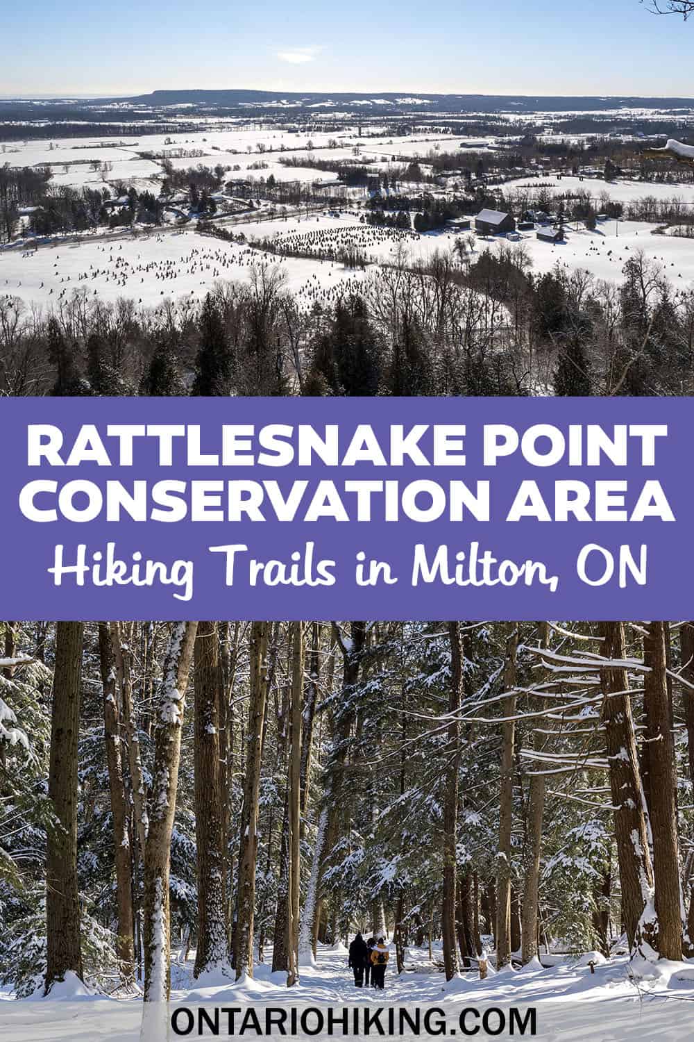
Rattlesnake Point Conservation Area is a beautiful place to go hiking all year long, and it's one of the top places to go hiking in Milton. We embarked on the first Ontario Hiking group trip to Rattlesnake Point in the winter of 2022 (February 5th, 2022). Our group enjoyed a beautiful winter hiking trip together, though it's wonderful to experience on your own or with your family and friends anytime.
In this hiking blog post, I'm going to show you how to plan your hiking trip to Rattlesnake Point Conservation Area. There are shorter loop trails, like the Vista Adventure Trail (1.5km), and lengthier loop trails, like the one that I experienced. You can hike out and back on the Nassagaweya Canyon Trail. It's also possible to create a loop with the Buffalo Crag Trail (3km) or make a longer connecting loop with the Bruce Trail (7-8km).
Join the Ontario Hiking Facebook Group
You are also welcome to join our Ontario Hiking Facebook Group - it's a great way to ask questions about hiking in Ontario, share your Ontario hikes, and get inspired!
Come Hiking With Us! Join an Upcoming Group Hike or Tour!
We are so excited to have group hiking adventures within Ontario and beyond. Learn more about how you can join us for a group hiking trip.
Rattlesnake Point Conservation Area Trail Map

The image above shows the official trail map of Rattlesnake Point Conservation Area from the Conservation Halton website. You'll see the Vista Adventure Trail, the Buffalo Crag Trail, the Nassagaweya Canyon Trail, and part of the Bruce Trail. Unfortunately, this map isn't complete as it leaves out a big section of the Bruce Trail that we hiked on.

This altered map from AllTrails better represents our route. While AllTrails describes it as a 7.2km hike, it's likely closer to about 8.5km in total. The starting point on the map shows the hike beginning at the lower parking lot. However, in the winter, the lower parking lot isn't open so you will need to park and begin your hike from the upper parking area.
I've marked the upper parking area with a big "P" on the map. You'll start your hike on the Vista Adventure Trail, walk along the Nassagaweya Canyon Trail, connect with the Bruce Trail, and loop back up to the Nassagaweya Canyon Trail/Buffalo Crag Trail back to where you started.
If you want to follow along on AllTrails, this is the hike that most closely resembles the one that I did. However, keep in mind that you will be adding the extra Vista Adventure Trail hike to this one if you start from the upper parking lot.
Hiking at Rattlesnake Point Conservation Area

There are so many great Rattlesnake Point hiking trails to explore. You can spend an hour or several hours discovering the entire park and beyond. Rattlesnake Point also connects to Crawford Lake if you'd like to experience both Conservation Halton parks in one day. From the upper parking lot, we started hiking on the Vista Adventure Trail.
Vista Adventure Trail

The Vista Adventure Trail is a 1.5km loop trail that's classified as easy. You will follow the green and yellow trail markers. The yellow trail markers follow the Buffalo Crag Trail, which continues beyond this small loop. The green trail markers follow the Vista Adventure Trail. There are also some blue trail markers on separate trees here, marking the Rattlesnake Point Side Trail (Bruce Trail side trail).


From the Vista Adventure Trail, you'll be able to experience a few lookout points: the Trafalgar Lookout, the Pinnacle Lookout, the Nelson Lookout, and the Nassagaweya Canyon Lookout. Out of all of the lookouts on the Vista Adventure Trail, the Nassagaweya Canyon Lookout is the least obscured by trees and greenery.
Nassagaweya Canyon Trail

From there, you'll follow the Nassagaweya Canyon Trail (orange blazes). A portion of this path is also a part of the Buffalo Crag Trail (yellow blazes) and the Rattlesnake Point Side Trail (part of the Bruce Trail, with blue trail blazes).


If you go hiking at Rattlesnake Point Conservation Area, there's a good chance that you'll end up on this trail. Follow the blue trail blazes for the Bruce Trail side trail that also interconnect with some orange and yellow trail blazes, too. There are some small hills along the way where you'll slowly descend into the forest.
For the most part, this is a relatively easy trek. You'll eventually make your way to the Buffalo Crag Lookout, one of the best lookouts at the park.
Buffalo Crag Lookout and Trail

The Nassagaweya Canyon Trail and the Buffalo Crag Trail lead to the Buffalo Crag Lookout. There's a lengthy rock wall overlooking the surrounding countryside. This lookout is pretty all year long, although I've heard that it looks prettiest in the fall with the fall foliage.
From the Buffalo Crag Lookout, you can continue to follow the yellow trail blazes on the Buffalo Crag Trail. This forms a loop and will connect you back to the original portion of the trail that you just walked on. This is great if you're looking to only go hiking for an hour to an hour and a half, depending on your speed. Our hiking group continued hiking on the Bruce Trail.
The Bruce Trail

If you'd like to go hiking for 3 to 3.5 hours, I suggest making the full loop on the Bruce Trail. You'll follow the trail map / AllTrails link that I detailed at the top of this article. From the Rattlesnake Point Side Trail and the Buffalo Crag Lookout, continue walking on the Bruce Trail. You'll see the white trail blazes and even a Bruce Trail marker or two.


Then, you'll descend deeper into the forest on another Bruce Trail side trail, the Leech Porter Side Trail. There won't be any major signs for this, but you will notice the trail blazes change from white to blue. There is an option to keep walking on the main Bruce Trail, of course, but this will take you farther north to Appleby Line and Kelso Conservation Area.


The Leech Porter Side Trail offers a really pretty section of the hike. This trail is named from a long time member of the Iroquoia Club (Bruce Trail). The trail cuts across the Nassagaweya Canyon and you'll walk on a 150 metre boardwalk over Limestone Creek. This was my favourite part of the entire hike! The side trail gradually climbs to the top of the canyon wall and meets the main Bruce Trail.


The Bruce Trail continues on a straight path for a while, and then you'll hike on the final hill. This is a very gradual incline that leads back up to the Rattlesnake Point Side Trail/Nassagaweya Canyon Trail/Buffalo Crag Trail. All in all, the Bruce Trail/Leech Porter Side Trail hike is 3.8km long.
Continuing to Crawford Lake Conservation Area

Rattlesnake Point Conservation Area and Crawford Lake Conservation Area are right beside one another, so it's possible to hike between them. Instead of hiking on the Bruce Trail, you'll walk on the Nassagaweya Canyon Trail until you reach Crawford Lake.
Nassagaweya Canyon Trail is 4.7km one way (9.4km round trip). It takes 3 to 4 hours to complete a return trip on this trail, plus you'll want to actually hike around Crawford Lake Conservation Area itself.
Please keep in mind that properly visiting Rattlesnake Point Conservation Area, walking to Crawford Lake, and then properly experiencing Crawford Lake Conservation Area is a full day activity. It also may not be possible with the current time limitations set out by Conservation Halton with regards to parking, so you'll need to plan accordingly.
Ontario Hiking Group Hikes
This was the very first group hike for Ontario Hiking. We have group hiking trips where you can join me (Lauren) and an experienced hiking tour guide on trips around Ontario. There will be day hikes where you meet us at the trail, day trips by bus that include transportation and lengthier hiking trips in the works (potentially outside of Ontario!).
You can view all of our group hikes and there is information on how to register.
Want to stay informed (or keep finding that the hikes are sold out?)
Our hiking trips are extremely popular - this first one sold out in minutes! If you'd like to stay informed of our future hiking trips and be the first to know about them (therefore, making it more likely to get a ticket), here are my top suggestions.
First, Ontario Hiking group trips are always announced first to our VIP members, so joining the Ontario Hiking Patreon gives you the best chance to know about our group hikes before anyone else.
Next, the hikes are announced to our free weekly newsletter. All subscribers of the newsletter will have the next crack at signing up.
Then, the group hikes will be announced to the Facebook group. By being a member of the Patreon, the newsletter, or the Facebook group, you’ll hear about our latest group hiking trips. You're also welcome to keep checking back to the group hikes page to see if any new ones are announced.
Plan Your Visit to Rattlesnake Point Conservation Area
Currently, you'll need to book a reservation to visit Rattlesnake Point Conservation Area, which is the case with many Conservation Halton parks. There are restrooms at the parking lots, as well as picnic areas, too.
There are two parking lots, the upper and lower parking areas, though the lower one closes in the winter. If the upper parking lot is full (it's small), you can park at the side of the road that wraps around the inside of the park. Do not park on the roads outside of the park as you will likely be ticketed and towed.
Camping at Rattlesnake Point Conservation Area
Rattlesnake Point Conservation Area has 17 group campsites that can accommodate up to 18 campers. Camping is allowed all year long and it is tent camping only. There are clean washroom facilities and outhouses (the ones at the lower parking area are only open from April to November).
Rock Climbing at Rattlesnake Point Conservation Area
You can go rock climbing at Rattlesnake Point Conservation Area, and you reserve your time slot at the same website as you would reserve a hiking trip. There are three designated sites for rock climbing: Rattlesnake Point Conservation Area, Nassagaweya Lookout at Rattlesnake Point and Buffalo Crag at Rattlesnake Point. There are more than 235 routes where you can scale challenging cliffs.
What to Bring on a Hike
A proper pair of hiking shoes is an absolute must. It’s also a good idea to bring sunscreen and lots of water, too. My water bottle of choice is the GRAYL Purifier because you can drink ANY water from any source, no matter what. Water from lakes, streams, rivers, public restrooms, you name it. It's the world's fastest portable purifier.
Don’t forget to pack some bug spray because there can be biting bugs depending on the time of year. Even if there aren't any signs, it’s safe to assume that ticks are all over Ontario hiking trails. Protect yourself against ticks by reading our guide to avoiding ticks on the trails.
For amazing deals on hiking products like backpacks, boots, clothing, and gear, check out the Decathlon Canada shop!
What to Bring on a Winter Hiking Trip
Your packing list for a winter hiking trip will look much different than one in the summer! Here are some important things to consider bringing with you on a winter day hike.
- Waterproof day pack
- Water bottle for cold drinks or insulated bottle for hot drinks
- Hand warmers / toe warmers
- Crampons
- Snowshoes
- Gaiters
- 3-in-1 jacket (for men and for women)
- Insulating layers (base layer top for women and for men)
- Base layer tights (for men and for women)
- Snow pants
- Swiss Army knife
- Warm hat, scarf, and mittens
- Waterproof hiking boots or winter boots
- Sunscreen
- Fast Mask neck gaiter
- Portable charger for cell phone (phone battery dies quicker in the cold!)
- Flashlight or headlamp (the sun goes down more quickly)
- Hiking poles
- Snacks / trail mix
- Whistle
- At least one change of hiking socks
Explore More Halton Parks
There are several parks under the umbrella of Conservation Halton. Spend one day each weekend exploring a new one. Or you can keep going back to your favorite trails again and again. You can view all Hamilton, Halton, and Brant region trails. Here are Ontario Hiking guides to the Conservation Halton parks:
- Rattlesnake Point
- Hilton Falls
- Crawford Lake
- Robert Edmondson
- Mountsberg
- Kelso
- Glen Eden
- Mount Nemo
| Follow Ontario Hiking on Social Media! Instagram | Facebook | Twitter | Pinterest | Newsletter | Join the Community |
Become an Ontario Hiking Supporter!
Join the Ontario Hiking Patreon and you'll become a VIP member of the Ontario Hiking community! You'll receive ad-free, downloadable hiking guides with new guides added weekly. Plus, there are many more perks! Become an Ontario Hiking Supporter today!


Check out the Ontario Hiking Shop!
Inspired by adventures and nature. Ontario hiking and Bruce Trail apparel & accessories, designed by me.