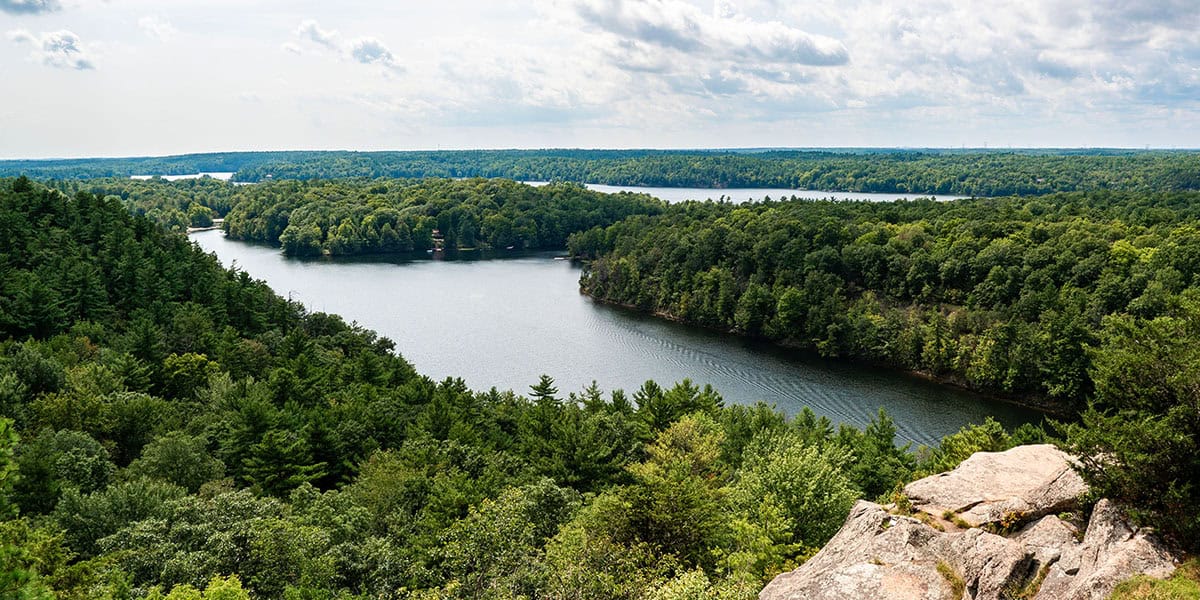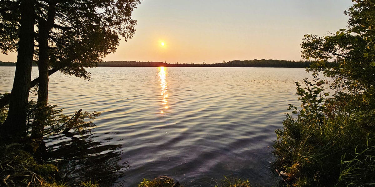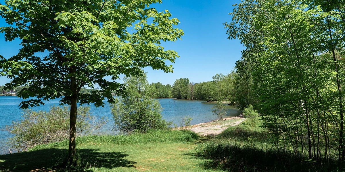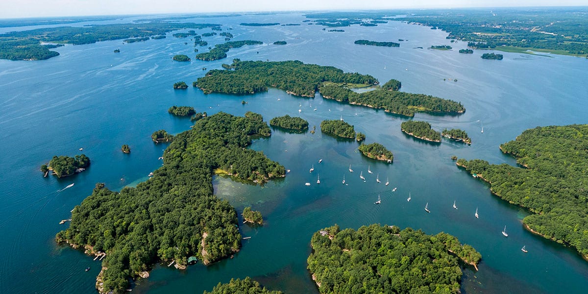
Potter's Creek Conservation Area is a beautiful place to go for a hike in the Belleville and the Bay of Quinte region. There are two separate trail networks on the north and south side of Old Highway 2, though the majority of the trails interconnect on the north side of the park. You can go hiking here in all seasons, as well as cross-country skiing in the winter.
You'll find 7km of loop trails at Potter's Creek Conservation Area. These meander along wetlands and through forests, orchards and meadows. The conservation area is located on former farmland that was transformed into protected greenspace. While there are only shorter trails on the south side of the park, many of these are paved and accessible. It's a beautiful spot with a couple of lookout points across the Bay of Quinte.
Join the Ontario Hiking Facebook Group
You are also welcome to join our Ontario Hiking Facebook Group - it's a great way to ask questions about hiking in Ontario, share your Ontario hikes, and get inspired!

Come Hiking With Us! Join an Upcoming Group Hike or Tour!
We are so excited to have group hiking adventures within Ontario and beyond. Learn more about how you can join us for a group hiking trip.

Potters Creek Conservation Area Trail Map

Here is a detailed trail map of Potter's Creek Conservation Area (by Quinte Conservation). As you can see, the majority of the conservation area is north of Old Highway 2, but there is another smaller park space south of Old Highway 2. You can also download a map of this conservation area on Avenza Maps trail app.
I recommend parking at the lot that corresponds with the trails you are looking to visit. If you're going to check out both, move your car from one car park to the next. It is too dangerous to run across the highway.
North of Old Highway 2, you will find the following trails at Potters Creek Conservation Area. I've also listed their length, as well as the colour of trail on the map above.
- Demonstration Wetland Trail (Orange, 0.5km)
- Sumac Trail (Yellow, 0.3km)
- Creekside Loop (Pink, 0.8km)
- Orchard Trail (Red, 2km)
- Loyalist Loop (Green, 1.7km)
- Wallbridge Loop (Blue, 0.9km)
South of Old Highway 2, there is a really small collection of paths that will take very little time to explore. There are many pretty views by the Bay of Quinte and the little marsh at the park.
- Arboretum Trail (0.1km)
- Bird Trail (0.2km)
- Parrott Trail (0.5km)
Hiking at Potter's Creek Conservation Area

Starting on the north side of Potter's Creek Conservation Area, I hiked on the Demonstration Wetland Trail towards the Creekside Loop. This trail follows an excavated pond wetland and a dig and dyke wetland. In the middle of the summer, everything was a little too overgrown to be able to see any of the wetlands. Perhaps in the winter and spring, you may be able to witness these spaces a little easier.

Continue hiking on this straight flat path. Eventually, there's a bend on the path and the Demonstration Wetland Trail comes to an end. Hike to the left and you'll venture towards the Orchard Trail and the Creekside Loop. Hike to the right and you will take the Sumac Trail back towards the parking lot.

I walked beneath the bridge towards the Creekside Loop. There's a short wooden bridge with pretty views over a little creek, and you may be able to view some wildflowers. The Creekside Loop is a quiet and peaceful loop trail through the forest. You will eventually end up back where you started.


I went for a shorter hike (less than an hour) and headed back to the car. Originally, you'd hike on the Orchard Trail back to the car. This portion of the trail is closed due to an emerald ash borer infestation. Thankfully, there's a simple trail reroute on the Sumac Trail. Hopefully, the park authorities will be able to get the infestation under control and reopen that section of trail in the future.


South Side of the Conservation Area
Once you're back at the parking lot, move your car to the opposite side of the street, just south of Old Highway 2. There's another large parking lot and it's much safer than trying to cross the busy road on foot.


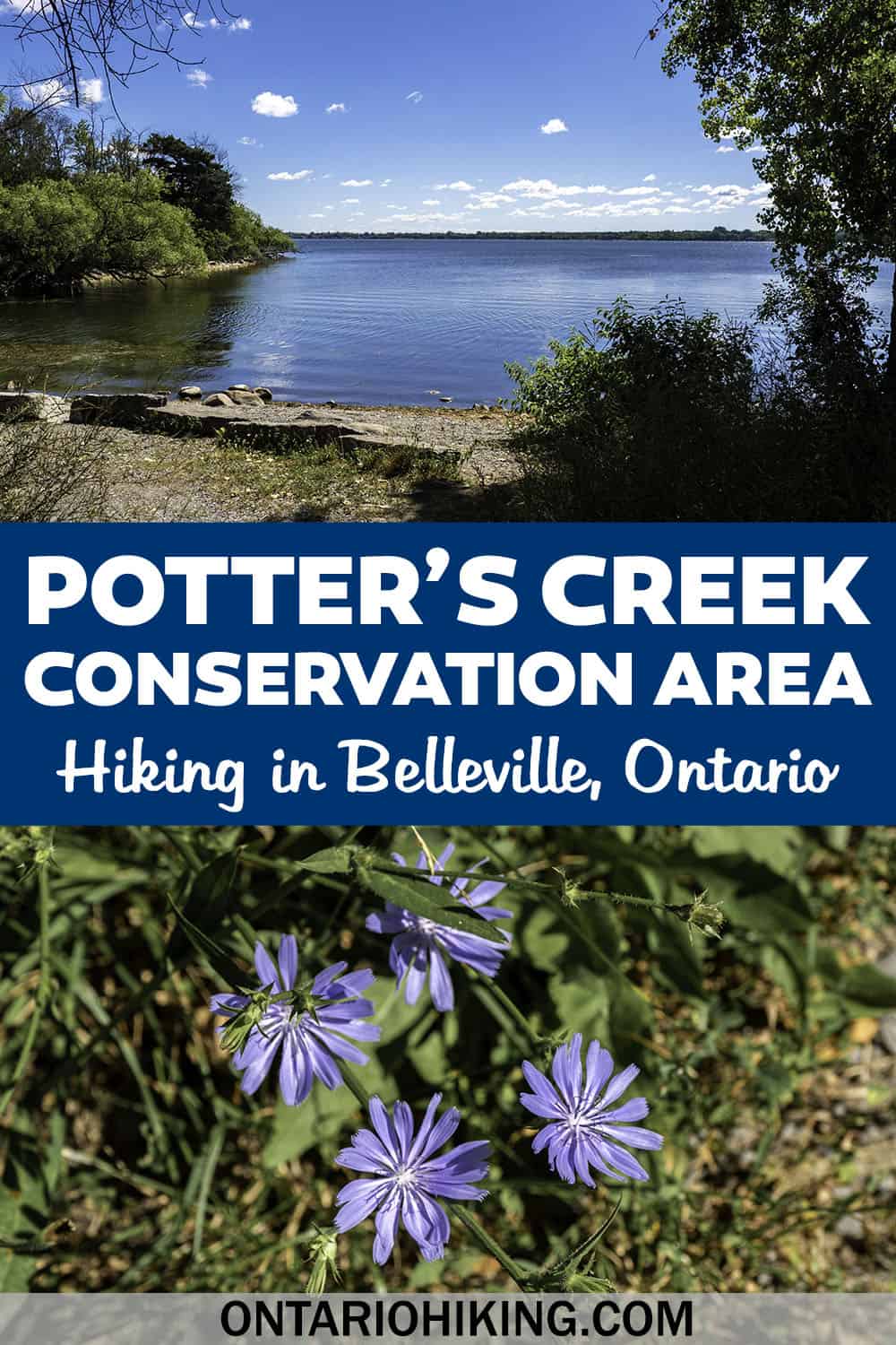
There are a few short paved paths that aren't really hiking trails, but they do offer some beautiful scenery. Also, there are a couple of lookout spots where you can catch glimpses of the sparkling blue waters of the Bay of Quinte. Another area has a smaller pond and wetlands, with lily pads and perhaps the opportunity to view some wildlife.


Plan Your Visit
When you arrive at Potter's Creek Conservation Area, you'll need to purchase a daily conservation area pass when you park your car. It costs $5.00 and it's for your vehicle (not per person). This conservation area pass is transferable throughout the day to any Quinte Conservation Area park. If you frequent Quinte Conservation parks often, you can also buy an annual pass.
There's a large parking lot for many cars on both sides of the park (on the north and south ends of Old Highway 2). There's also a portable washroom and picnic tables. At Potter's Creek Conservation Area, you can go hiking, birdwatching, picnicking, dog walking (dogs must be kept on a leash), canoeing and kayaking (no rentals available, bring your own watercraft). In the winter, you can go cross-country skiing and snowshoeing, though the trails are not groomed.
What to Bring on a Hike
A proper pair of hiking shoes is an absolute must. It’s also a good idea to bring sunscreen and lots of water, too. My water bottle of choice is the GRAYL Purifier because you can drink ANY water from any source, no matter what. Water from lakes, streams, rivers, public restrooms, you name it. It's the world's fastest portable purifier.
Don’t forget to pack some bug spray because there can be biting bugs depending on the time of year. Even if there aren't any signs, it’s safe to assume that ticks are all over Ontario hiking trails. Protect yourself against ticks by reading our guide to avoiding ticks on the trails.
For amazing deals on hiking products like backpacks, boots, clothing, and gear, check out the Decathlon Canada shop!
More Hikes in Southeastern Ontario
Looking for more trail suggestions for southeastern Ontario? Take a look at these awesome provincial parks, conservation areas and trails:
- Marble Rock Conservation Area
- Jones Creek Trails (1000 Islands National Park)
- Landon Bay Hiking Trails (1000 Islands National Park)
- Hiking Guide for the 1000 Islands Region
- Gray’s Creek Conservation Area
- Guindon Park
- Hiking Guide for the Bay of Quinte Region
- Presqu’ile Provincial Park
- Proctor Park Conservation Area
- Bleasdell Boulder Conservation Area
- Sager Conservation Area
- HR Frink Conservation Area
- Sheffield Conservation Area
- Topsy Farms on Amherst Island
- Frontenac Arch Biosphere Reserve
- Lemoine Point Conservation Area
- Menzel Centennial Provincial Nature Reserve
- Rock Dunder Nature Reserve
| Follow Ontario Hiking on Social Media! Instagram | Facebook | Twitter | Pinterest | Newsletter | Join the Community |


Become an Ontario Hiking Supporter!
Join the Ontario Hiking Patreon and you'll become a VIP member of the Ontario Hiking community! You'll receive ad-free, downloadable hiking guides with new guides added weekly. Plus, there are many more perks! Become an Ontario Hiking Supporter today!


Check out the Ontario Hiking Shop!
Inspired by adventures and nature. Ontario hiking and Bruce Trail apparel & accessories, designed by me.