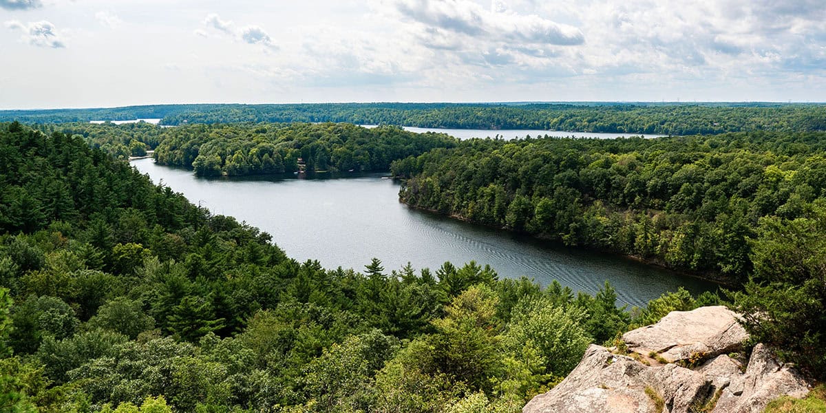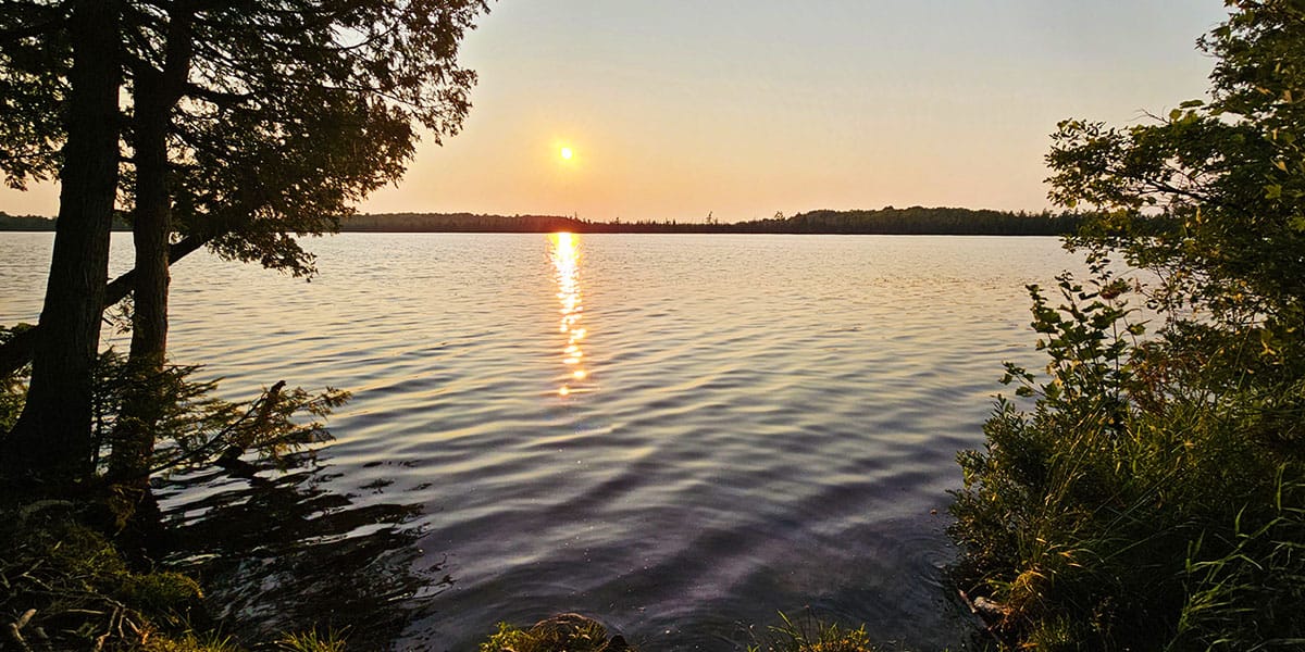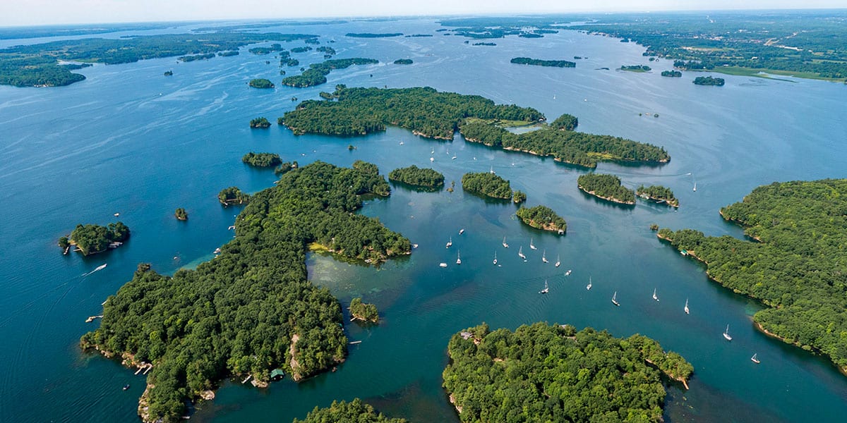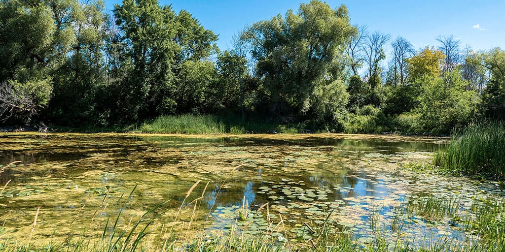
Lemoine Point Conservation Area is a beautiful nature preserve in Kingston, Ontario. It's a 136 hectare property (340 acres) just minutes from downtown Kingston. It's so wonderful to have such a massive greenspace and peaceful place within the Kingston city limits for all to enjoy. It also happens to be one of the best places to view the solar eclipse of 2024!
This conservation area has been managed by Cataraqui Conservation since 1975, and it's bordered by Lake Ontario and Collins Bay. This property was once a Loyalist settlement. The landowner, Johan Jost Herkimer, was given the land in 1784 for his service to the Crown during the American Revolutionary War. The conservation property was nicknamed "Herkimer's Nose" or "Herkimer's Point".
In 1836, the Herkimer family sold the property to Captain William Lemoine, after which Lemoine Point Conservation Area is named. The Lemoine family sold the land to William Hugh Coverdale, and a portion of the farmland still belongs to the Coverdale family. Eventually, the Cataraqui Region Conservation Authority (CRCA) would like to acquire the farmland from the Coverdales and extend the conservation property across all 170 hectares (420 acres).
Join the Ontario Hiking Facebook Group
You are also welcome to join our Ontario Hiking Facebook Group - it's a great way to ask questions about hiking in Ontario, share your Ontario hikes, and get inspired!
Come Hiking With Us! Join an Upcoming Group Hike or Tour!
We are so excited to have group hiking adventures within Ontario and beyond. Learn more about how you can join us for a group hiking trip.

Lemoine Point Conservation Area Map

Here is a trail map for Lemoine Point Conservation Area. As you can see, there are five different colour-coded trails on the way. You can take a different path each time, forming a new loop trail, for new experiences. Here is the trail listing with their distances:
- Trail 1 (Orange): 2.97km
- Trail 2 (Green): 1.99km
- Trail 3 (Red): 0.6km
- Trail 4 (Yellow): 1.42km
- Trail 5 (Blue): 2.89km
It's also worth noting that all of the trails are walking paths, with the exception of trail 5 (blue trail). Trail 5 may be used for hiking and cycling. It is the only path where bikes are permitted.
Hiking at Lemoine Point Conservation Area

Lemoine Point Conservation Area includes a variety of habitats and terrain, including deciduous woodlands, marshlands, fields, shorelines, and grassy expanses. Visitors can enjoy 2,500 metres of shoreline, and it's the largest publicly accessible tract of wooded Lake Ontario shoreline in the area.


There's an abundance of plant and animal life here, including many species of resident and migratory birds, owls, insects, snakes, chipmunks, squirrels, deer, ducks and geese. In total, there are 11km of trails and the majority are quite flat and suitable for all hiking skill levels. Some of the trails are wide and quite smooth, accessible for both strollers and wheelchairs.


I started my hike at the northern parking lot and ventured down trail five, or the blue trail. I walked through the forest and past vast meadows as I continued towards the shoreline. After encountering the southern parking lot, I continued on trail five until connecting with the short trail three (red trail). Essentially, I hiked around the outer perimeter of the park on trail five, three and one.


Trail one, or the orange trail, offered the most scenic views within the park of Lake Ontario and Collins Bay. At one point, you can walk right down to the shore to dip your toes in the waters of the lake. The forested areas on trail one were the most scenic and peaceful of all the trails at Lemoine Point Conservation Area. If there's one trail you must hike at the park, it's trail one, though I highly suggest making a full loop like I did.
Plan Your Visit
There are two large parking lots at Lemoine Point Conservation Area on the northern and southern ends of the park (please see the map photo above for more details). There are no fees to park your car and enter the park. It's completely free to visit Lemoine Point Conservation Area.
There are bathrooms at both the northern and southern ends of the park, as displayed on the map. The restrooms are also fully accessible, too. Lemoine Point Conservation Area has several picnic tables on site if you're looking to gather with your friends and family. Please pack out what you bring in, and leave no garbage behind.
I noticed that many people were bringing in bird seed to feed the animals. While I'm sure that the birds, ducks and chipmunks appreciate the extra meal, it's best to not feed any wildlife when you're visiting natural spaces in Ontario. Please allow the wildlife to remain wild. Please never feed bread to ducks and geese as it is very harmful to their digestive systems.
What to Bring on a Hike
A proper pair of hiking shoes is an absolute must. It’s also a good idea to bring sunscreen and lots of water, too. My water bottle of choice is the GRAYL Purifier because you can drink ANY water from any source, no matter what. Water from lakes, streams, rivers, public restrooms, you name it. It's the world's fastest portable purifier.
Don’t forget to pack some bug spray because there can be biting bugs depending on the time of year. Even if there aren't any signs, it’s safe to assume that ticks are all over Ontario hiking trails. Protect yourself against ticks by reading our guide to avoiding ticks on the trails.
For amazing deals on hiking products like backpacks, boots, clothing, and gear, check out the Decathlon Canada shop!
More Hikes in South Eastern Ontario
Looking for more hiking trails in south eastern Ontario? I've got a great list of suggestions for you!
- Frontenac Arch Biosphere Trails
- Potter's Creek Conservation Area
- Marble Rock Conservation Area
- Jones Creek Trails (1000 Islands National Park)
- Landon Bay Hiking Trails (1000 Islands National Park)
- Hiking Guide for the 1000 Islands Region
- Gray’s Creek Conservation Area
- Guindon Park
- Hiking Guide for the Bay of Quinte Region
- Presqu’ile Provincial Park
- Proctor Park Conservation Area
- Bleasdell Boulder Conservation Area
- Sager Conservation Area
- HR Frink Conservation Area
- Sheffield Conservation Area
- Topsy Farms on Amherst Island
- Menzel Centennial Provincial Nature Reserve
- Rock Dunder Nature Reserve
| Follow Ontario Hiking on Social Media! Instagram | Facebook | Twitter | Pinterest | Newsletter | Join the Community |


Become an Ontario Hiking Supporter!
Join the Ontario Hiking Patreon and you'll become a VIP member of the Ontario Hiking community! You'll receive ad-free, downloadable hiking guides with new guides added weekly. Plus, there are many more perks! Become an Ontario Hiking Supporter today!


Check out the Ontario Hiking Shop!
Inspired by adventures and nature. Ontario hiking and Bruce Trail apparel & accessories, designed by me.