HR Frink Conservation Area is home to many top hiking trails in the Bay of Quinte. There are 12km of trails in total at this conservation area that span 341 acres. Mostly notably, there's an expansive boardwalk over wetlands where you might be able to spot some wildlife.
The conservation area consists of trails both north and south of Thrasher Road. The north side features forested trails along the Moira River that take you through a mature hardwood forest and around a silver maple swamp. On the south side, there are even more hiking trails, including the photogenic Wetland Ecology Boardwalk.
Join the Ontario Hiking Facebook Group
You are also welcome to join our Ontario Hiking Facebook Group - it's a great way to ask questions about hiking in Ontario, share your Ontario hikes, and get inspired!

Come Hiking With Us! Join an Upcoming Group Hike or Tour!
We are so excited to have group hiking adventures within Ontario and beyond. Learn more about how you can join us for a group hiking trip.

HR Frink Conservation Area Map

Here is a map of HR Frink Conservation Area that shows all of the hiking trails, lookout points, and other points of interest and useful details. Here are the trails in the north section:
- Cedar Creek (white, 0.4km)
- Drumlin (red, 2km)
- Hi-Lo (dark blue, 0.7km)
- Pine (light blue, 0.2km)
- Pixie (yellow, 0.5km)
- Quill (orange, 0.5km)
- Riverside (pink, 0.4km)
- Settlers (green, 1.3km)
- Timber (brown, 0.3km)
And here are the trails in the south section of the park:
- Boardwalks (brown, 0.9km)
- Boundary (dark red, 2.1km)
- Cross County (green, 1.8km)
- Horsetrail (blue, 0.4km)
- Link (orange, 0.2km)
- Pond (pink, 0.3km)
Hiking Trails at H.R. Frink Conservation Area

When I went hiking at HR Frink Conservation Area, I stuck to the south section of the park. However, I've heard that the north section is just as amazing and might be even better. The next time I'm in the area, I'll be hiking all of the north trails and adding to this blog post.


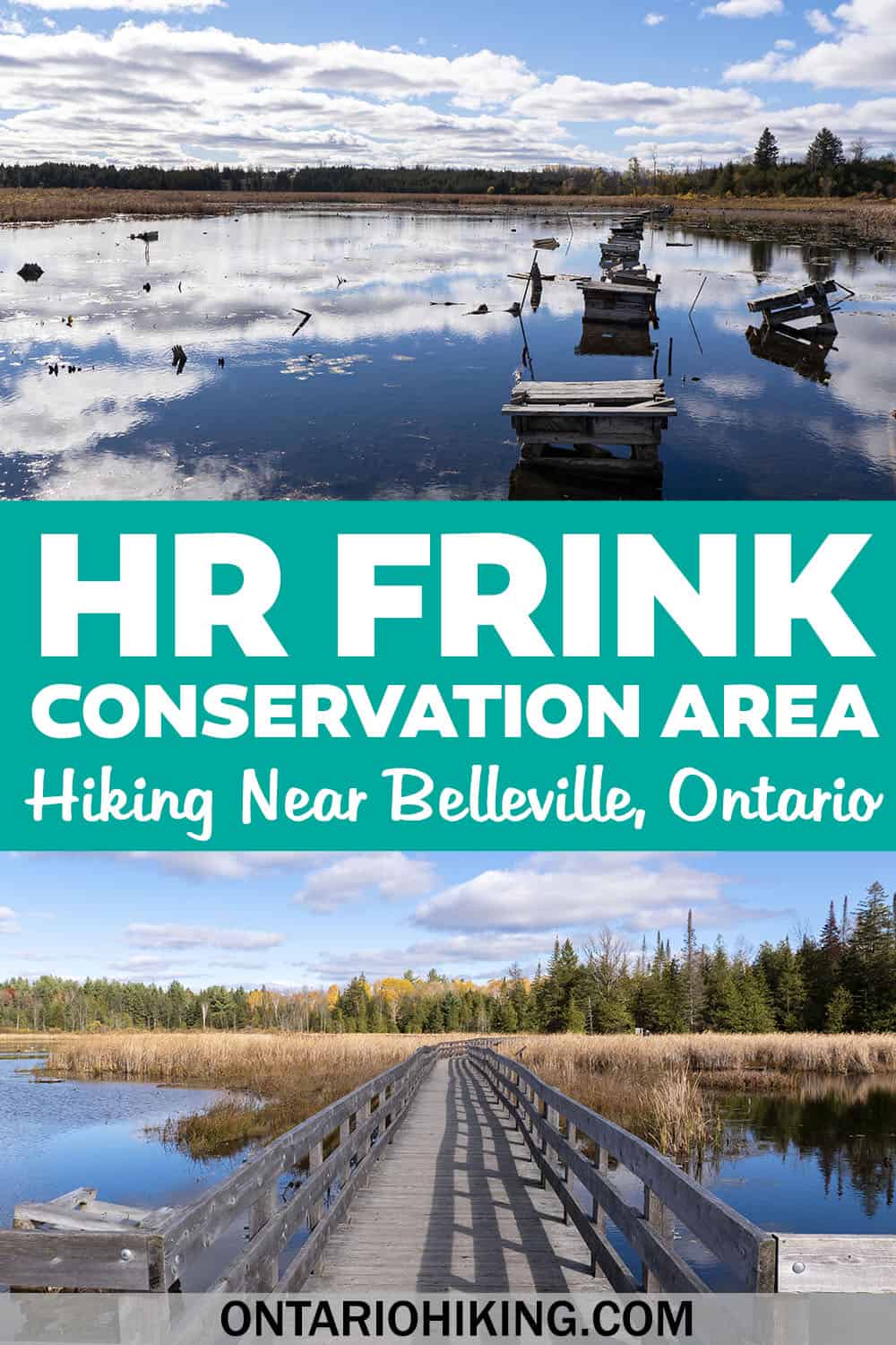
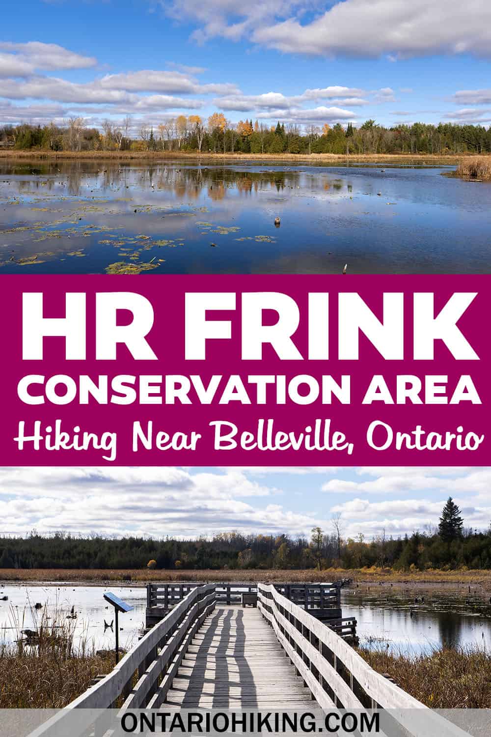
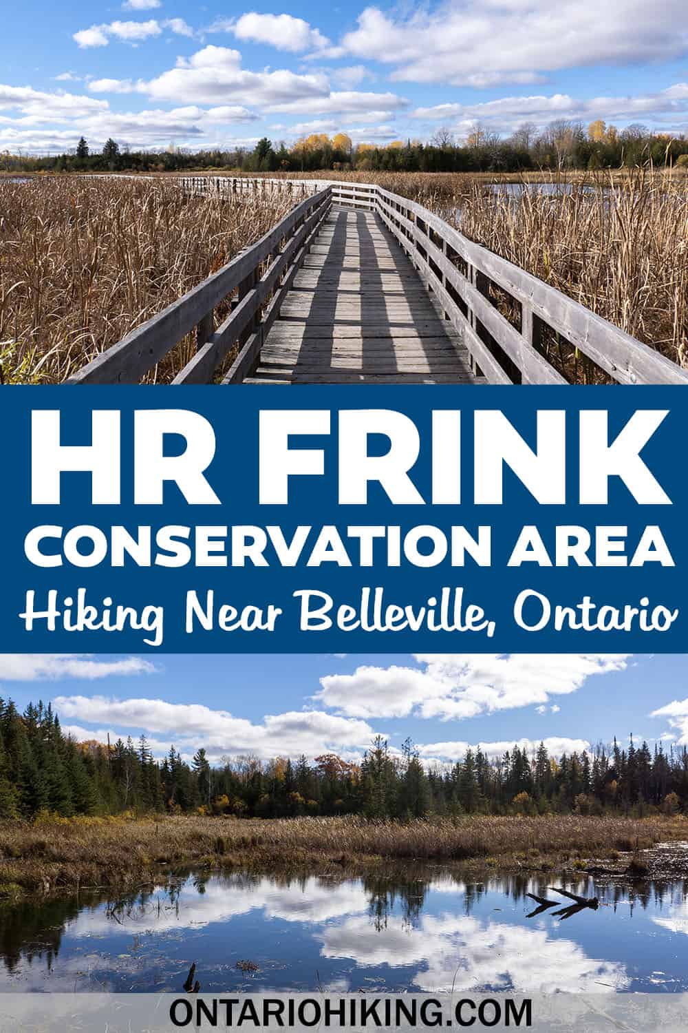
Starting at the south parking lot, I hiked in a counter-clockwise direction, starting with the Pond trail. The Pond trail leads to the boardwalks built over the wetlands. You'll be able to enjoy scenic panoramic views from the boardwalks that eventually lead to a lookout point.


I loved seeing the waterfowl nesting boxes at the wetlands as I'm sure this helps them survive and thrive. The reflections of the clouds in the water were so pretty, too. You might end up spending a lot of time at this peaceful and beautiful spot. Take lots of pictures, too!


From there, I hiked on the Boundary trail, which had numerous boardwalks on the way. However, there were some sections without wooden boardwalks that got a bit muddy. I hiked here in late October and it wasn't after a rainfall. I imagine that this trail can get really muddy in the spring.


You can continue around in a big loop on the Boundary trail or use the Horsetail trail for a shortcut back to the parking lot. It's great hiking at HR Frink Conservation Area because you can make your hike as short or long as you'd like. In total, there are 12km of trails or you can choose to only hike a few kilometres.
Plan Your Visit

At H.R. Frink Conservation Area, there are two hiking areas both north and south of Thrasher Road. Typically, there are two separate entrances, one north and one south of the main road.
When I visited, the main entrance north of Thrasher Road was closed. So, there was only parking in a lot south of the road. It’s a fairly large parking lot, and it costs $5 to park (payable by mobile device). Take extreme care if you are going to cross Thrasher Road by foot to the north side of the conservation area.
There is an education centre on the north side of HR Frink Conservation Area. Quinte Conservation and local school boards deliver outdoor education programs. You can find a listing of their education programs on the official website.

There is one restroom located on the north side of the conservation area. Picnic tables are situated on both sides of the park if you're planning to have a picnic or simply relax with your family and friends.
The trails at HR Frink Conservation Area are easy and follow a flat path. It's a great spot for people of all ages, including beginner hikers. Intermediate and advanced hikers will also love the beautiful scenery, so it's great for everyone.
What to Bring on a Hike
A proper pair of hiking shoes is an absolute must. It’s also a good idea to bring sunscreen and lots of water, too. My water bottle of choice is the GRAYL Purifier because you can drink ANY water from any source, no matter what. Water from lakes, streams, rivers, public restrooms, you name it. It's the world's fastest portable purifier.
Don’t forget to pack some bug spray because there can be biting bugs depending on the time of year. Even if there aren't any signs, it’s safe to assume that ticks are all over Ontario hiking trails. Protect yourself against ticks by reading our guide to avoiding ticks on the trails.
For amazing deals on hiking products like backpacks, boots, clothing, and gear, check out the Decathlon Canada shop!
More Hikes in Southeastern Ontario
Looking for more trail suggestions for southeastern Ontario? Aside from the best hikes in the Bay of Quinte region, take a look at these great hikes:
- Marble Rock Conservation Area
- Jones Creek Trails (1000 Islands National Park)
- Landon Bay Hiking Trails (1000 Islands National Park)
- Hiking Guide for the 1000 Islands Region
- Gray’s Creek Conservation Area
- Guindon Park
- Presqu'ile Provincial Park
- Proctor Park Conservation Area
- Bleasdell Boulder Conservation Area
- Sager Conservation Area
- Sheffield Conservation Area
- Topsy Farms Trails, Amherst Island
- Potter's Creek Conservation Area
- Frontenac Arch Biosphere Reserve
- Lemoine Point Conservation Area
- Menzel Centennial Provincial Nature Reserve
- Rock Dunder Nature Reserve
| Follow Ontario Hiking on Social Media! Instagram | Facebook | Twitter | Pinterest | Newsletter | Join the Community |
Become an Ontario Hiking Supporter!
Join the Ontario Hiking Patreon and you'll become a VIP member of the Ontario Hiking community! You'll receive ad-free, downloadable hiking guides with new guides added weekly. Plus, there are many more perks! Become an Ontario Hiking Supporter today!


Check out the Ontario Hiking Shop!
Inspired by adventures and nature. Ontario hiking and Bruce Trail apparel & accessories, designed by me.