
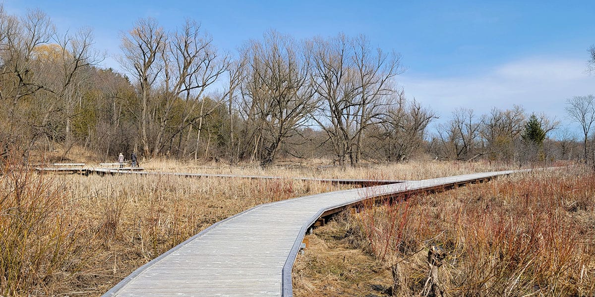
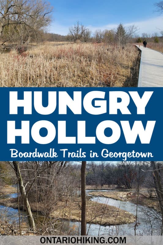
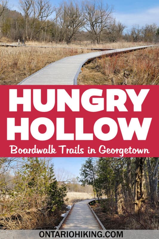
Halton Hills is home to 30km of trails and one of them is the beautiful Hungry Hollow Trail. It’s a delightful series of interconnected boardwalk paths through the Hungry Hollow ravine in Georgetown. And here’s some really exciting news: the Hungry Hollow trail is finally complete!
Posts may be sponsored. Post contains affiliate links. I may be compensated if you make a purchase using my link.
You can now walk on 7km of trails from downtown Georgetown to Hall Road at the southeast end of town. If you don’t live in Georgetown, I recommend starting your hike at Cedarvale Park where there is plenty of parking. While you’re in the area, there are many excellent trails in Halton Hills. The Hungry Hollow trail has a worthy place on my list of the top 10 trails in town.
Join the Ontario Hiking Facebook Group
You are also welcome to join our Ontario Hiking Facebook Group – it’s a great way to ask questions about hiking in Ontario, share your Ontario hikes, and get inspired!
Come Hiking With Us! Join an Upcoming Group Hike or Tour!
We are so excited to have group hiking adventures within Ontario and beyond. Learn more about how you can join us for a group hiking trip.

Hungry Hollow Trail Map

Here is a Hungry Hollow trail map taken from a sign posted on the way. There are several trail maps on the path. This trail is really easy to follow, even without trail blazes. For the most part, there are boardwalks that lead you in one direction, though the trail splits at a couple of points on the way. You can also download a more detailed PDF of the map from the Halton Hills website.
There are several access points from many neighbourhoods around Georgetown. These include Hall Road, Chelvin Drive, Dawson Crescent, Metcalfe Court, Eaton Street, Miller Drive, West Branch Drive, and Main Street South (via Cedarvale Park).
Hiking the Hungry Hollow Trail

The Hungry Hollow ravine is an environmentally sensitive area, home to many species of flora and fauna. This land extends from Cedarvale Park in Georgetown to Willow Park in Norval. Silver Creek runs through the ravine, which flows towards the Credit River. It is an important fish habitat with 14 different fish species. There are also 450 vascular plants, 90 bird species and 17 mammal species.
Cedarvale Park to Main Street South

You’ll begin your hike at Cedarvale Park. The entrance to the trail is beside one of the parking lots at the southeastern end of the park, or you can walk through the park from the other parking lot (near the dog park). This is the newest section of the park with the boardwalk only recently completed and open for public use.


These boardwalk trails are fantastic because they protect the ecology of the land and keep your shoes from getting muddy. You can use them all year long, though they aren’t maintained in the winter so you’ll need to take care on snowy and icy sections.


You’ll eventually come out at Main Street South, otherwise known as 8th Line. This is a pretty busy street with a wide, paved path for walkers and cyclists alike. Be mindful of any cyclists riding past and share the trail. After a short walk on this busy road, you’ll see a path back onto the trail to the north. Walk on the trail and you’ll be off the city streets for the remainder of the hike.
Main Street South to Mountainview Road Overpass

Walk down a little hill and you’ll be back on a flat path. There’s another expansive boardwalk trail here with several viewpoints overlooking the marshlands. This trail alternates between this boardwalk path and a dirt path through the forest.


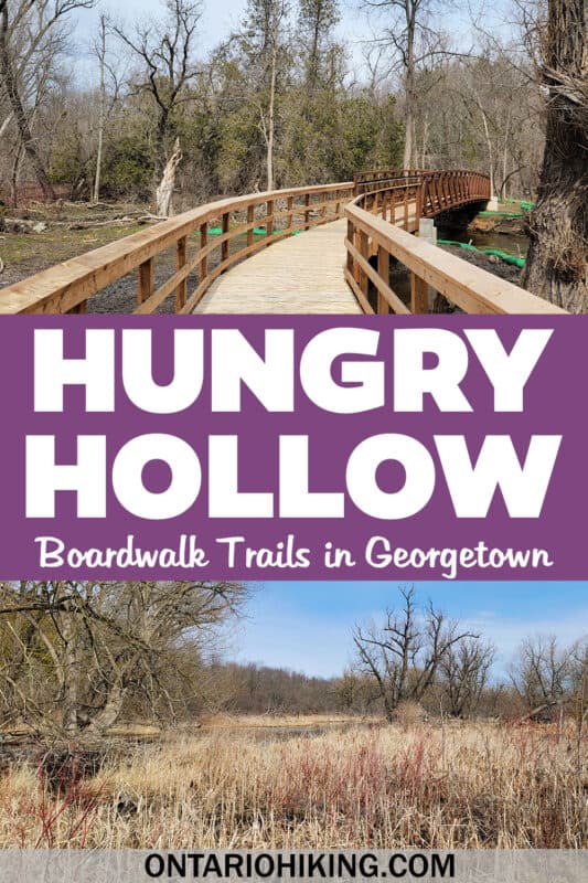
Continue walking past some community parks on the way that lead to the surrounding neighbourhoods. Eventually, you’ll reach the busy Mountainview Road, except it will be way up overhead. There’s a little bridge here with pretty scenery of Silver Creek.


From here, you can either venture northeast on the path (without going beneath Mountainview Road), which will take you up to the nearby neighbourhood. You can also head east, beneath Mountainview Road, and continue on the boardwalk trail for more hiking.
Beyond Mountainview Road

Continue your hike and you’ll walk alongside Silver Creek on another extensive boardwalk. Be on the lookout for birds and wildlife on the way. This is another area where the trail splits and leads up to a few community streets. You can keep walking further, but you will need to turn around at the end of the trail and head back to where you started.


On the way back, I decided to walk back beneath Mountainview Road, and then I walked northeast up to Dawson Crescent. From there, I walked home because I live in Georgetown! You can walk through the residential neighbourhood back to your car at Cedarvale Park, or you can walk back the way you came on the trail (the more scenic and pretty option, of course!).
Plan Your Visit to the Hungry Hollow Trail

If you don’t live in Georgetown and you can’t access the trails by foot, I suggest driving to Cedarvale Park. There’s a huge parking lot off Main Street South, just before you reach Maple Ave. This is the new beginning point of the Hungry Hollow trail, only recently completed.
Hungry Hollow trail is free to visit and there is no cost for parking. As this is mainly a community trail, there aren’t any restrooms or facilities, so plan accordingly. The entire trail is 7km, one way, so you are looking at approximately 14km out and back.

As always, please be respectful on the trails. Stay on the marked trails to protect this environmentally sensitive area. Keep your dogs on a leash. Clean up anything that you’ve left behind. Do not disturb plants or wildlife.
What to Bring on a Hike
A proper pair of hiking shoes is an absolute must. It’s also a good idea to bring sunscreen and lots of water, too. My water bottle of choice is the GRAYL Purifier because you can drink ANY water from any source, no matter what. Water from lakes, streams, rivers, public restrooms, you name it. It’s the world’s fastest portable purifier.
Don’t forget to pack some bug spray because there can be biting bugs depending on the time of year. Even if there aren’t any signs, it’s safe to assume that ticks are all over Ontario hiking trails. Protect yourself against ticks by reading our guide to avoiding ticks on the trails.
For amazing deals on hiking products like backpacks, boots, clothing, and gear, check out the Decathlon Canada shop!
More Hikes in Halton Region
If you’re seeking more hiking trails in Halton Hills and beyond, we’ve got you covered! Here are some of the best trails in Halton region:
- Limehouse Conservation Area in Halton Hills
- Silver Creek Conservation Area in Halton Hills
- Terra Cotta Conservation Area in Halton Hills
- Scotsdale Farm in Halton Hills
- Hilton Falls Conservation Area in Milton
- Rattlesnake Point Conservation Area in Milton
- Crawford Lake Conservation Area in Milton
- Mountsberg Conservation Area in Milton
- Robert Edmondson Conservation Area in Milton
- Mount Nemo Conservation Area in Burlington
- Kerncliff Park in Burlington
- Bridle Trail Loop at the Royal Botanical Gardens
- Bronte Creek Provincial Park
| Follow Ontario Hiking on Social Media! Instagram | Facebook | Twitter | Pinterest | Newsletter | Join the Community |
Become an Ontario Hiking Supporter!
Join the Ontario Hiking Patreon and you’ll become a VIP member of the Ontario Hiking community! You’ll receive ad-free, downloadable hiking guides with new guides added weekly. Plus, there are many more perks! Become an Ontario Hiking Supporter today!


Check out the Ontario Hiking Shop!
Inspired by adventures and nature. Ontario hiking and Bruce Trail apparel & accessories, designed by me.