
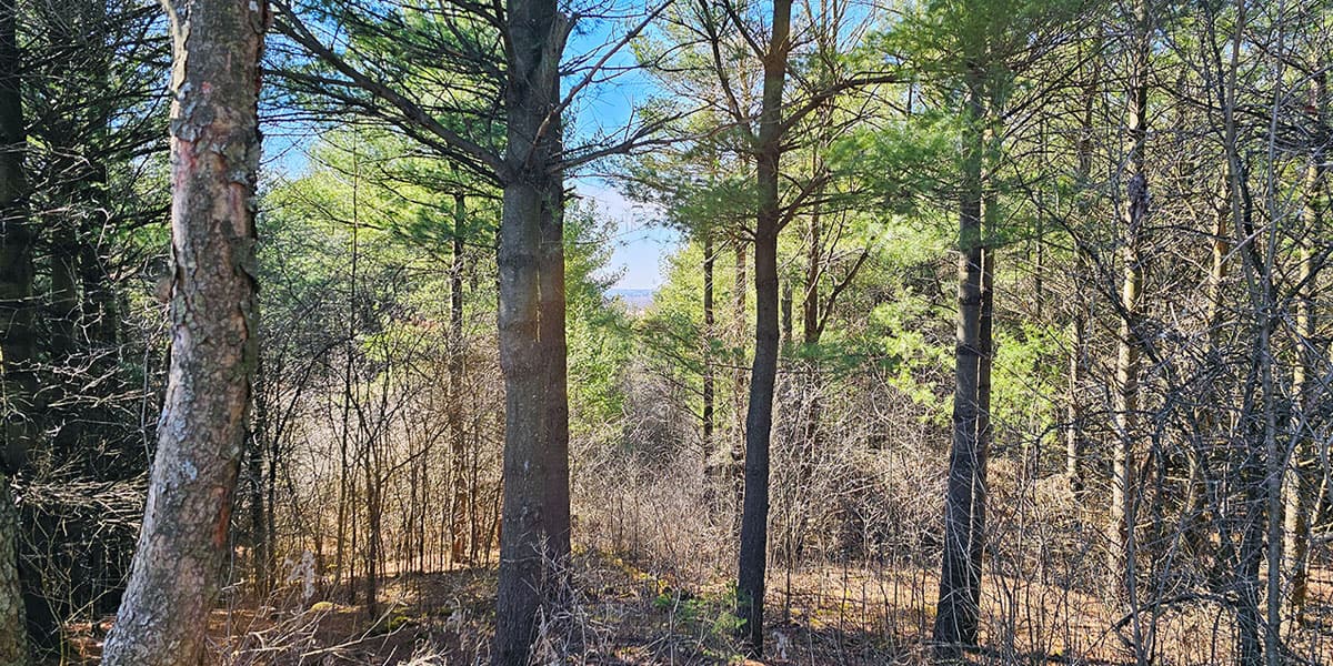
Starkey Hill is a great place to go for a hike near Guelph, Ontario. Located just outside of Guelph on Arkell Road, Starkey Hill is the highest point in Puslinch Township. The top of the hill sits at 380 metres tall, which provides a small amount of elevation in an area that’s quite flat.
Posts may be sponsored. Post contains affiliate links. I may be compensated if you make a purchase using my link.
While there are hills involved in this hike and it isn’t an entirely flat path, I wouldn’t consider this one to be terribly challenging. Starkey Hill is a convenient loop trail where you will feel quite removed from the city, surrounded by nature.
There are quite a few intriguing features along the way, considering that the loop is just under 4km in total. You can likely hike this one in about an hour, so it’s awesome when you’re looking to fit a nature walk into your busy schedule.
Ready to hit the trails? Allow me to tell you a little bit more about Starkey Hill, sharing my photos and adventures on this beautiful path through the woods in Guelph.
Join the Ontario Hiking Facebook Group
You are also welcome to join our Ontario Hiking Facebook Group – it’s a great way to ask questions about hiking in Ontario, share your Ontario hikes, and get inspired!
Come Hiking With Us! Join an Upcoming Group Hike or Tour!
We are so excited to have group hiking adventures within Ontario and beyond. Learn more about how you can join us for a group hiking trip.

All About Starkey Hill
Starkey Hill is 37 hectares in size and features a 4km loop hiking trail that offers a scenic walk through the forest. You’ll walk past wetlands and be able to sneak a peek of Guelph through the trees at the highest point in the region.
Named for the Starkey family, the American family moved to the area in 1833 and purchased this tract of land in 1849 to farm it. After the farm was successfully managed for many years by generations of this family, the family sold the land to the Grand River Conservation Authority in 1972.
The Starkey family hoped that the land and its underlying groundwater could remain protected. The GRCA developed a hiking trail so the public could enjoy this beautiful property. The trail is currently maintained by the Guelph Hiking Trail Club.
The Guelph Hiking Trail Club has added many interesting discoveries in the form of QR codes on sign posts so you can learn more about the history and natural features of Starkey Hill as you walk. These are modern-day interpretive signs that work with any smartphone. Simply hold your phone’s camera up to the QR code and you can visit a website with more information.
Hiking at Starkey Hill
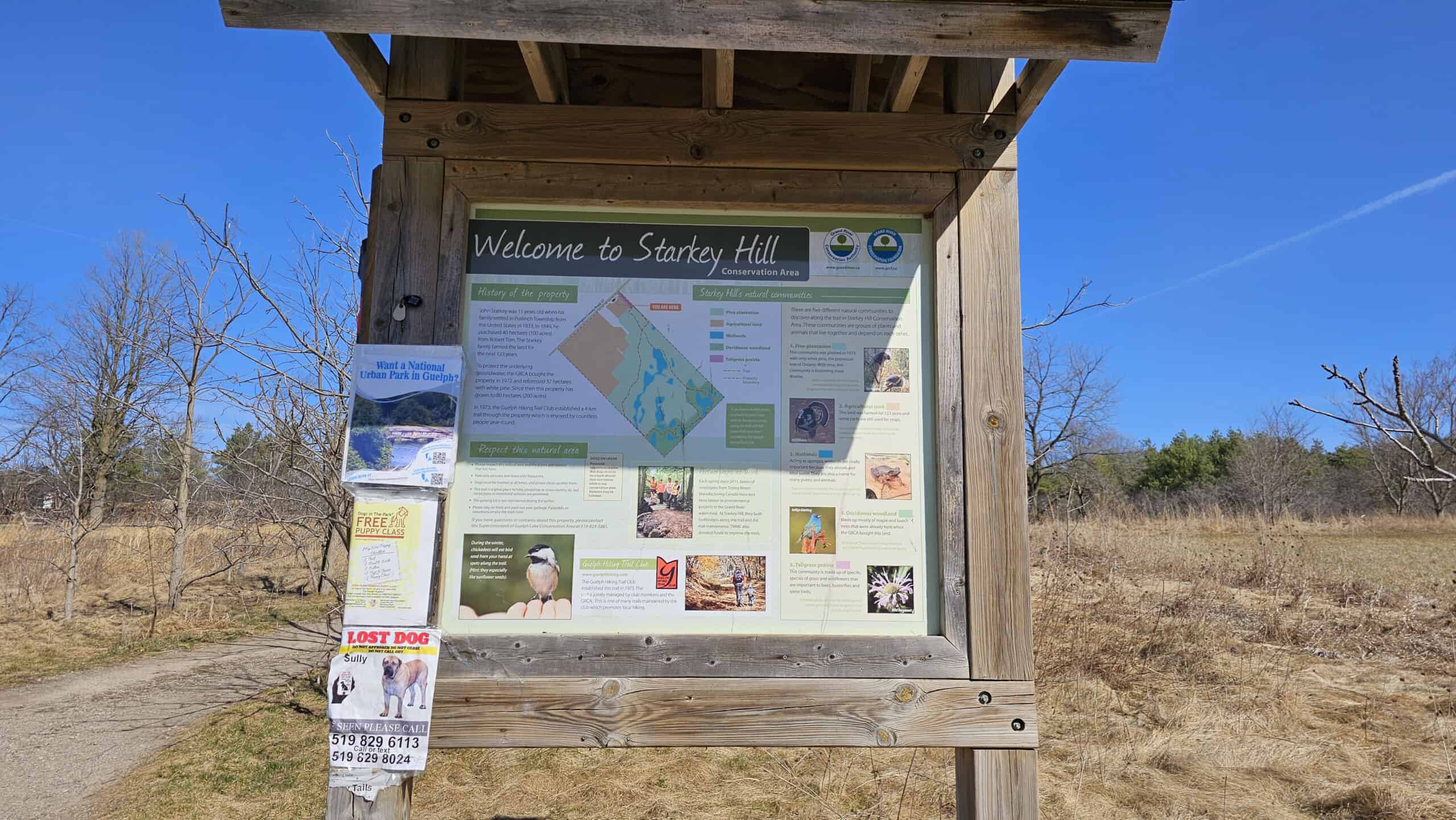
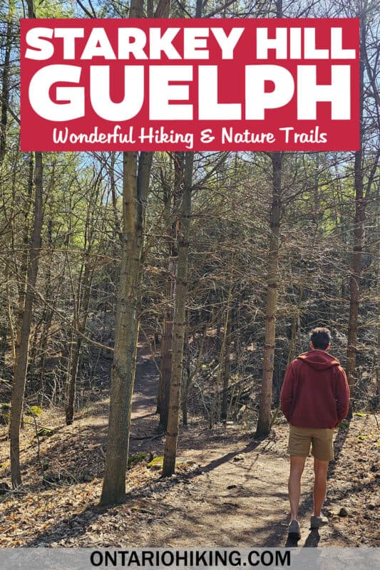
Welcome to Starkey Hill! This is one of those trails where you don’t really need a trail map. If you walk in a loop (we walked counter-clockwise), you’ll eventually get back to the parking lot where you started. There are also blue blazes on some of the trees, as well as a few directional signposts, too.
Starting at the parking lot, be sure to take a look at the back of the first sign you see if you’d like a brief overview of the geology of the area. I’ll include a photo of this sign below just in case you’d like to read it ahead of time.

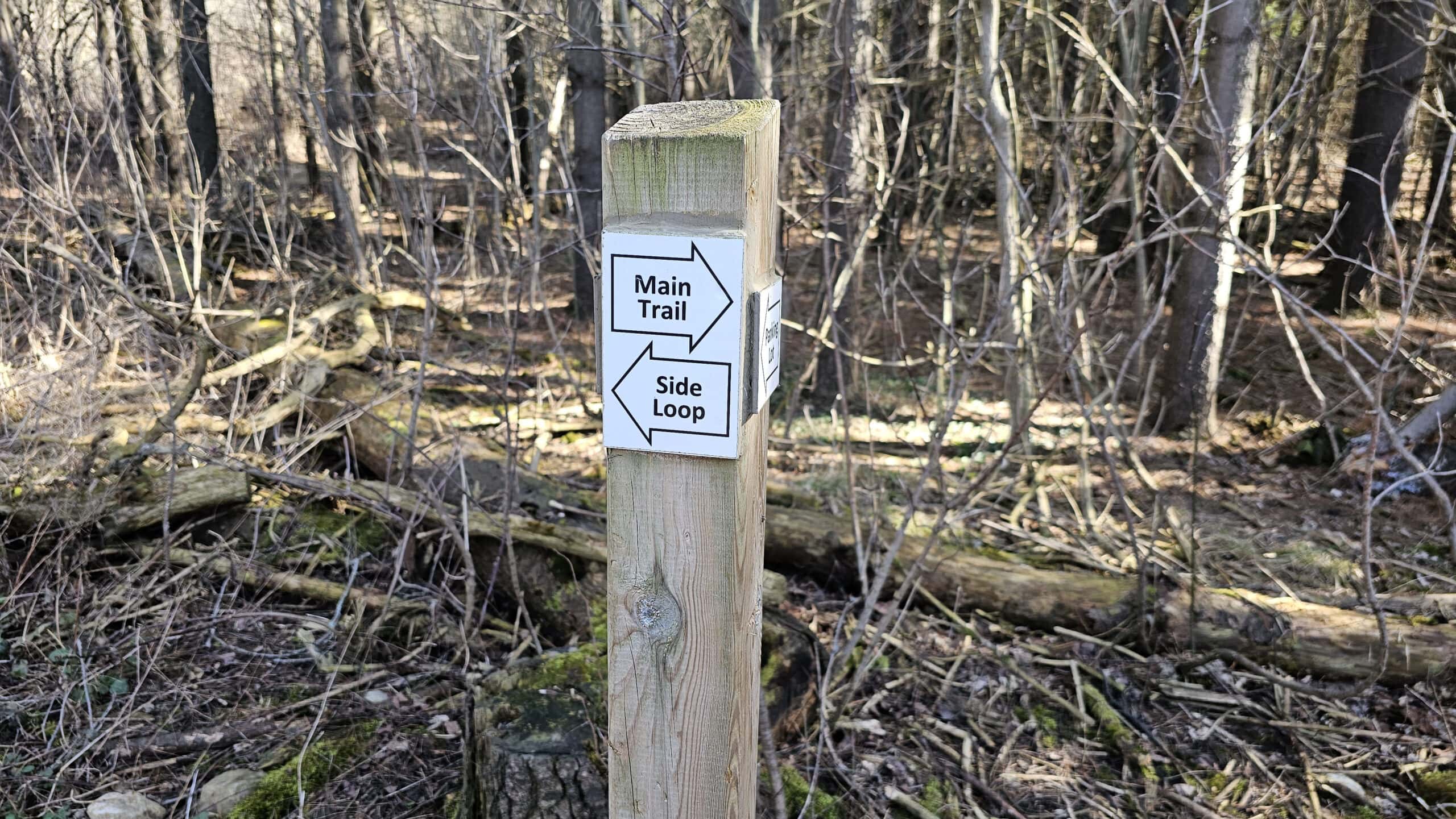

We walked into the forest until we reached a signpost. The main trail was to the right, and the side loop was to the left. We turned to the right and followed the main trail, walking in a counter-clockwise direction.
The Wind Phone
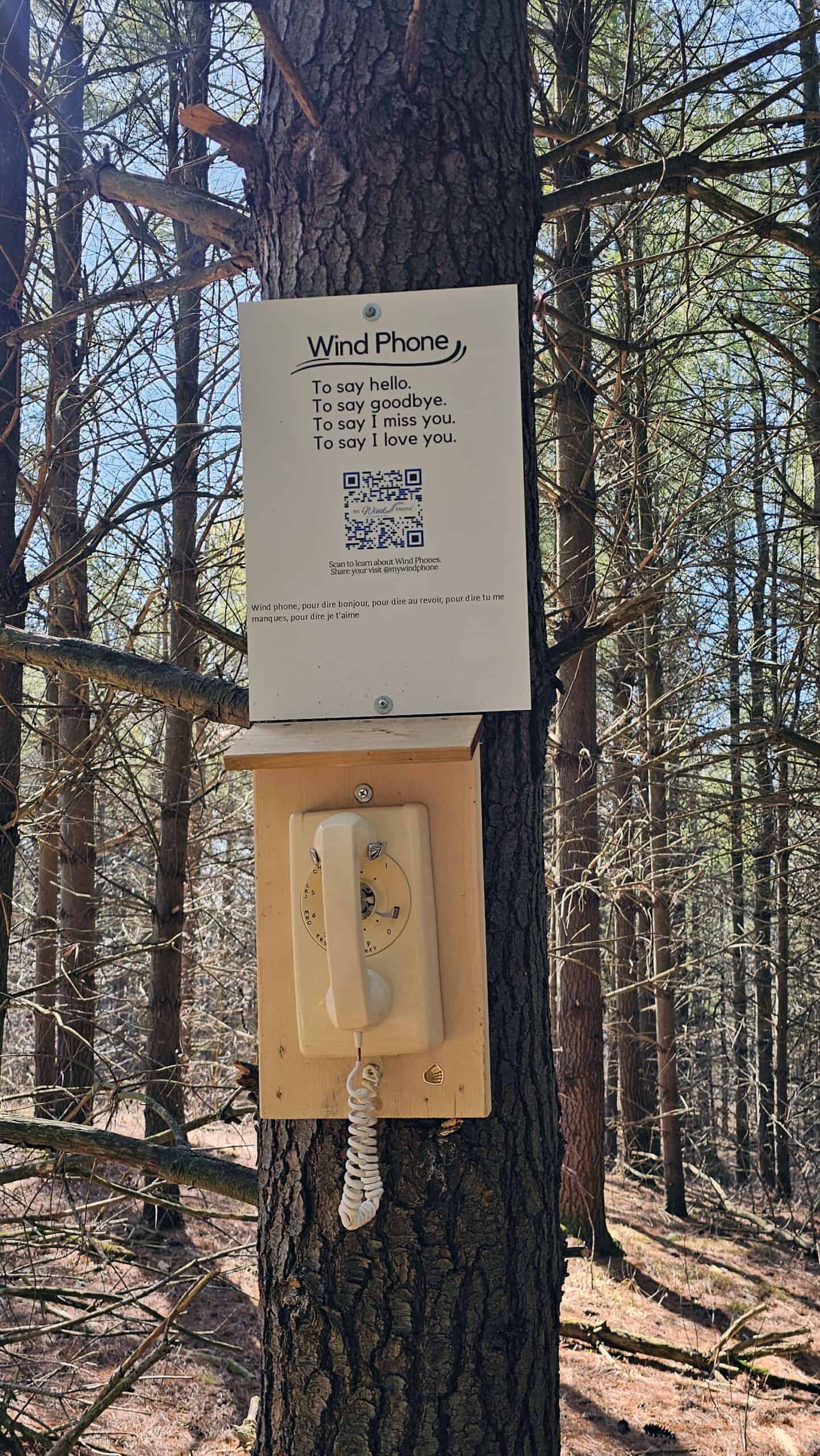
Now, you’ll have to look out for this one or you might miss it. To your right attached to a tree, there is a Wind Phone. Have you ever heard of wind phones?
The original Phone of the Wind was created in Japan by Itaru Sasaki. He had recently lost his cousin to cancer and set up a telephone booth in his garden. By speaking into the phone, he felt connected to his cousin. It provided some comfort and healing for his great loss. The phone was not connected in any way, so his voice was only carried off into the wind.
Shortly after, there was a devastating tsunami in Japan and so many people lost their loved ones. Itaru invited anyone to his Phone of the Wind to make calls to their lost loved ones as a way to cope with their pain. People could say what they didn’t have the chance to say to their loved ones when they were alive.
Nowadays, there are wind phones being set up all over the world. There are numerous wind phones across Canada, including this one at Starkey Hill.
The Summit at Starkey Hill


As we continued to ascend up the hill, eventually we reached a bench with a small sign/QR code stating that this was the summit. I was a bit surprised that this was the highest point as it didn’t seem very high, but we were indeed at the top of Starkey Hill.
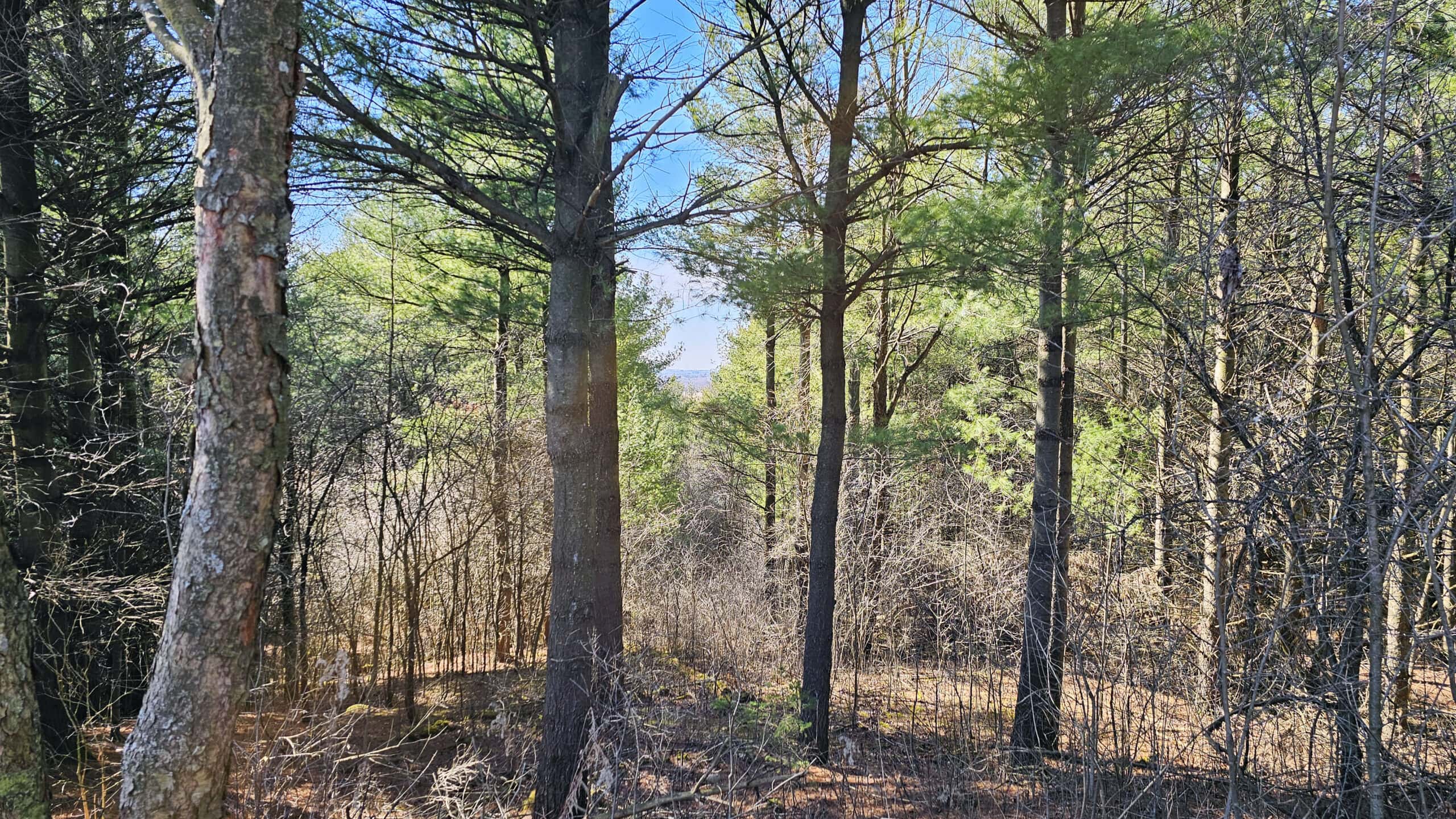
There isn’t too much of a view here. You can gaze out between the trees to catch some glimpses of Guelph off in the distance. It’s a bit blocked by the foliage all around, but I didn’t mind. It’s lovely being surrounded by so many trees.
Back in 1911, the Geodetic Survey of Canada installed a temporary 100-foot wooden tower at this spot for triangulation surveying. They gathered details to form the basis of topographic mapping. As this was only a temporary tower, it was dismantled in 1920 so there’s no trace of it ever being here.
Trees, Bridges and Other Notable Finds
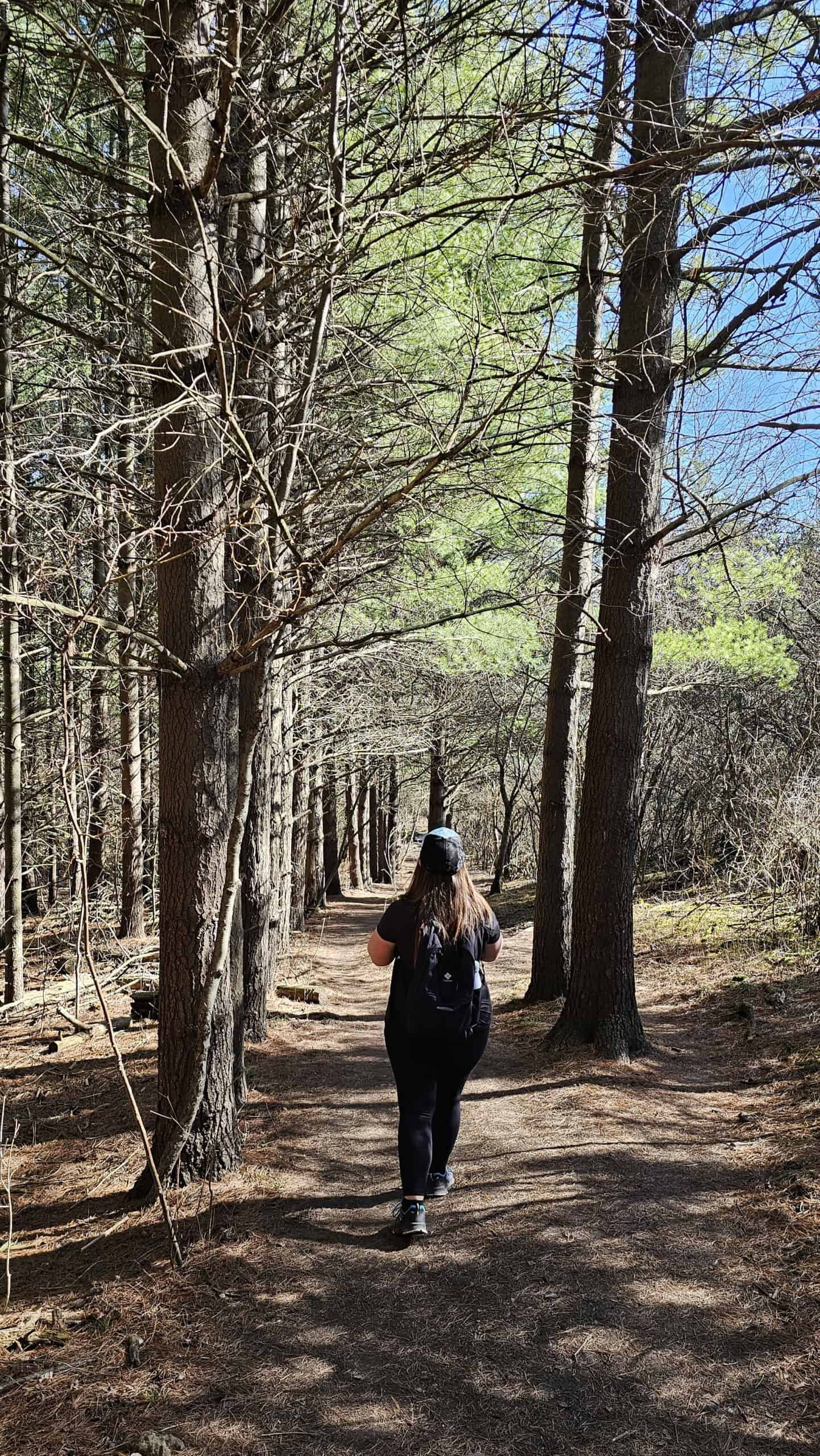
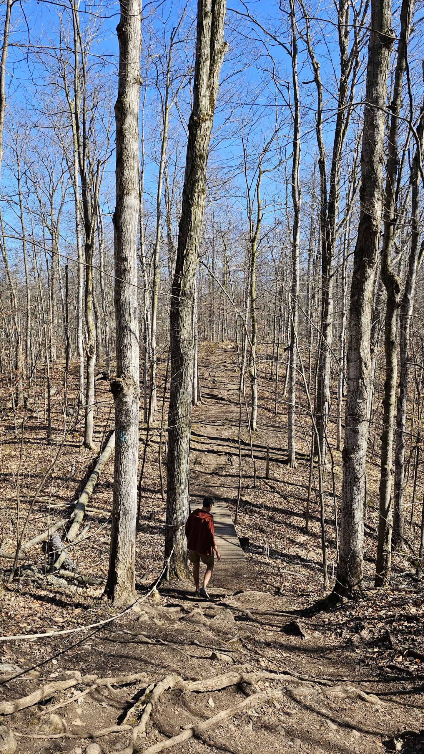
From the top of Starkey Hill, it’s mostly a downhill jaunt at this point with a few small hills here and there. There are a couple of short wooden bridges to walk across that help protect the wildlife and ecology of the park while keeping your feet dry in muddy weather.
The ponds you pass on the trail are known as kettle lakes. Kettle lakes formed during the ice age as depressions in the ground. These fill with rain and water after a winter thaw. As they don’t connect to any rivers or streams, the water becomes absorbed underground. These are a vital water source for wildlife and provide water to the Arkell aquifer that supplies some of Guelph’s drinking water.
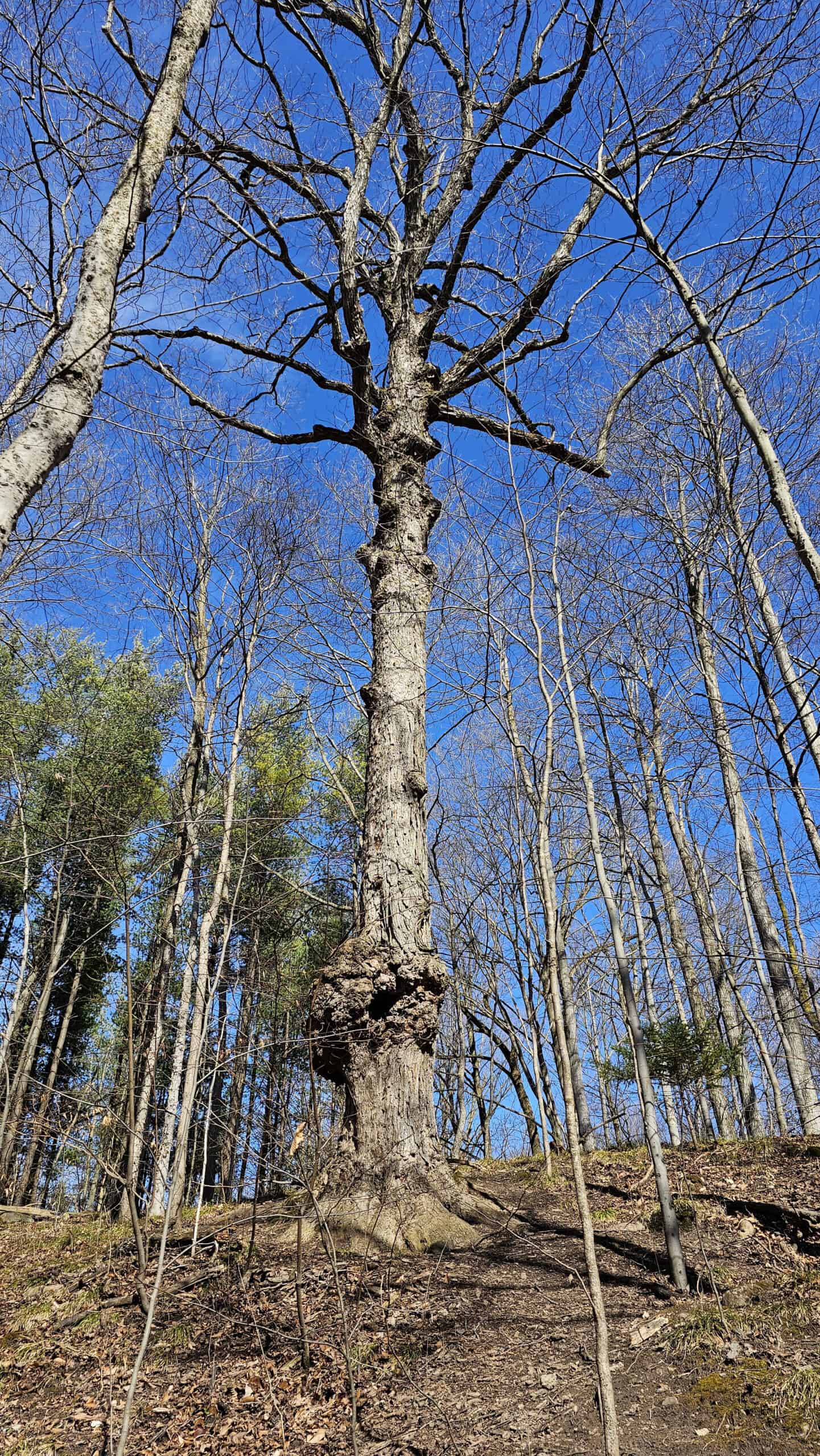
You may notice that some of the pine forests here look rather uniform. As this land was once a farm, this area had to undergo some reforestation efforts. The GRCA planted these eastern white pine trees in 1972 to protect the underground water sources.
Wildlife Sightings
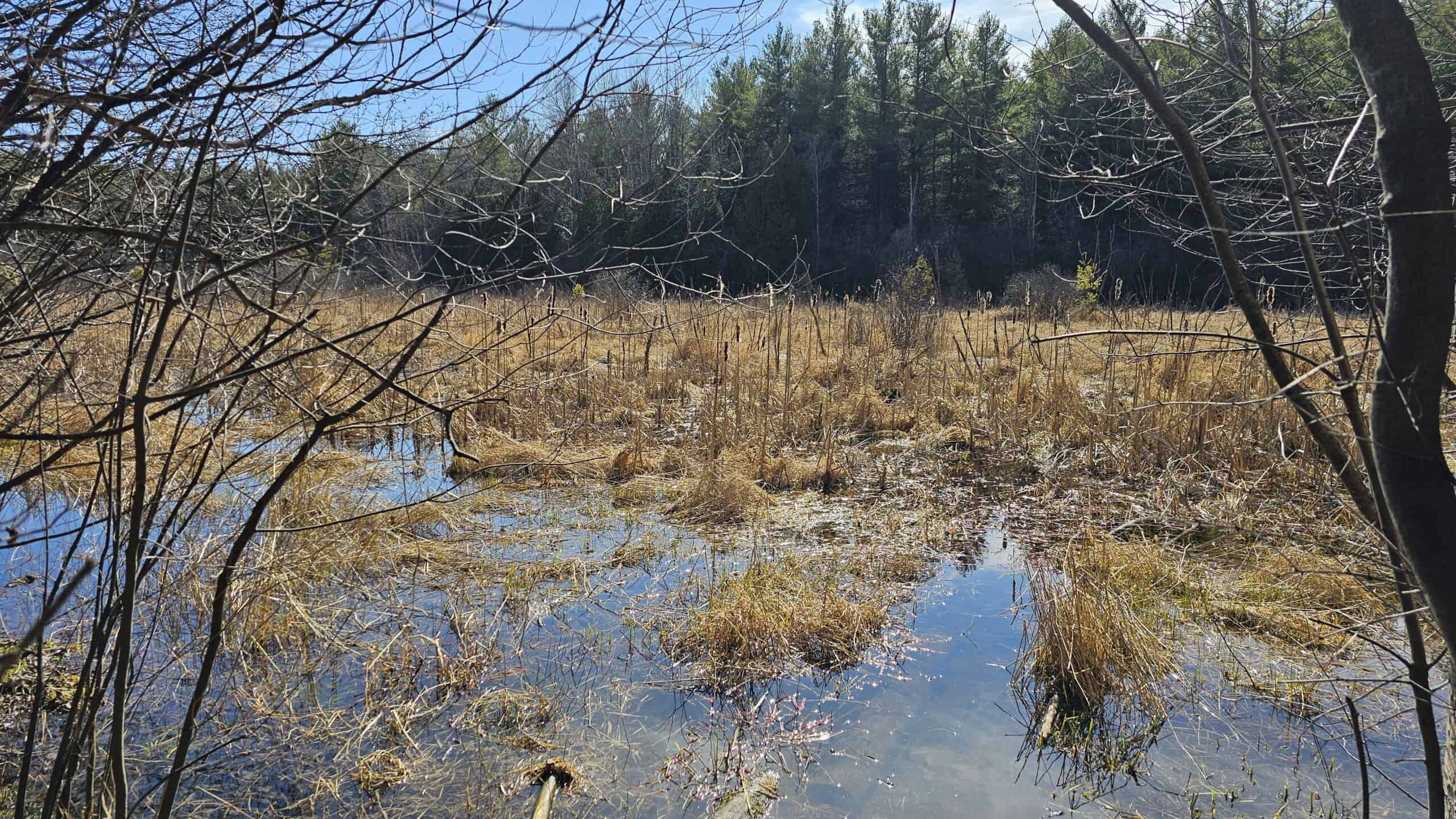
Starkey Hill is teeming with wildlife. In the spring, visit for your chance to spot white trilliums growing in the forest and beside the trail. You may spot an interesting mushroom or two. During our visit on a seasonably warm March day, we stopped near the marsh to listen to the frogs croaking and soaking up the sunshine.
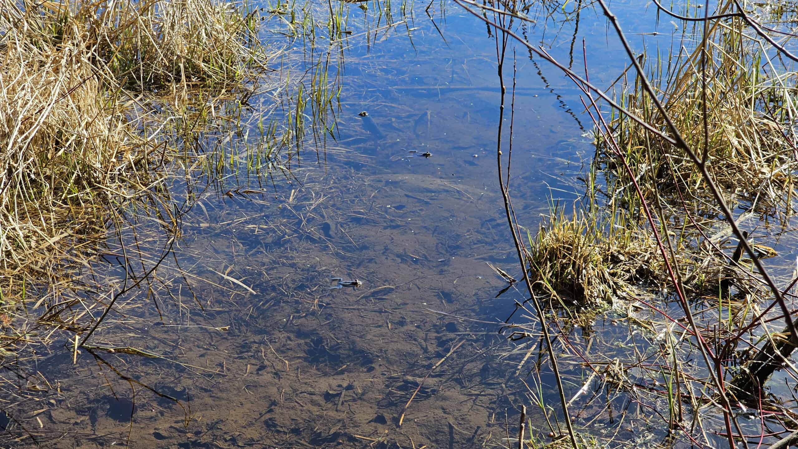
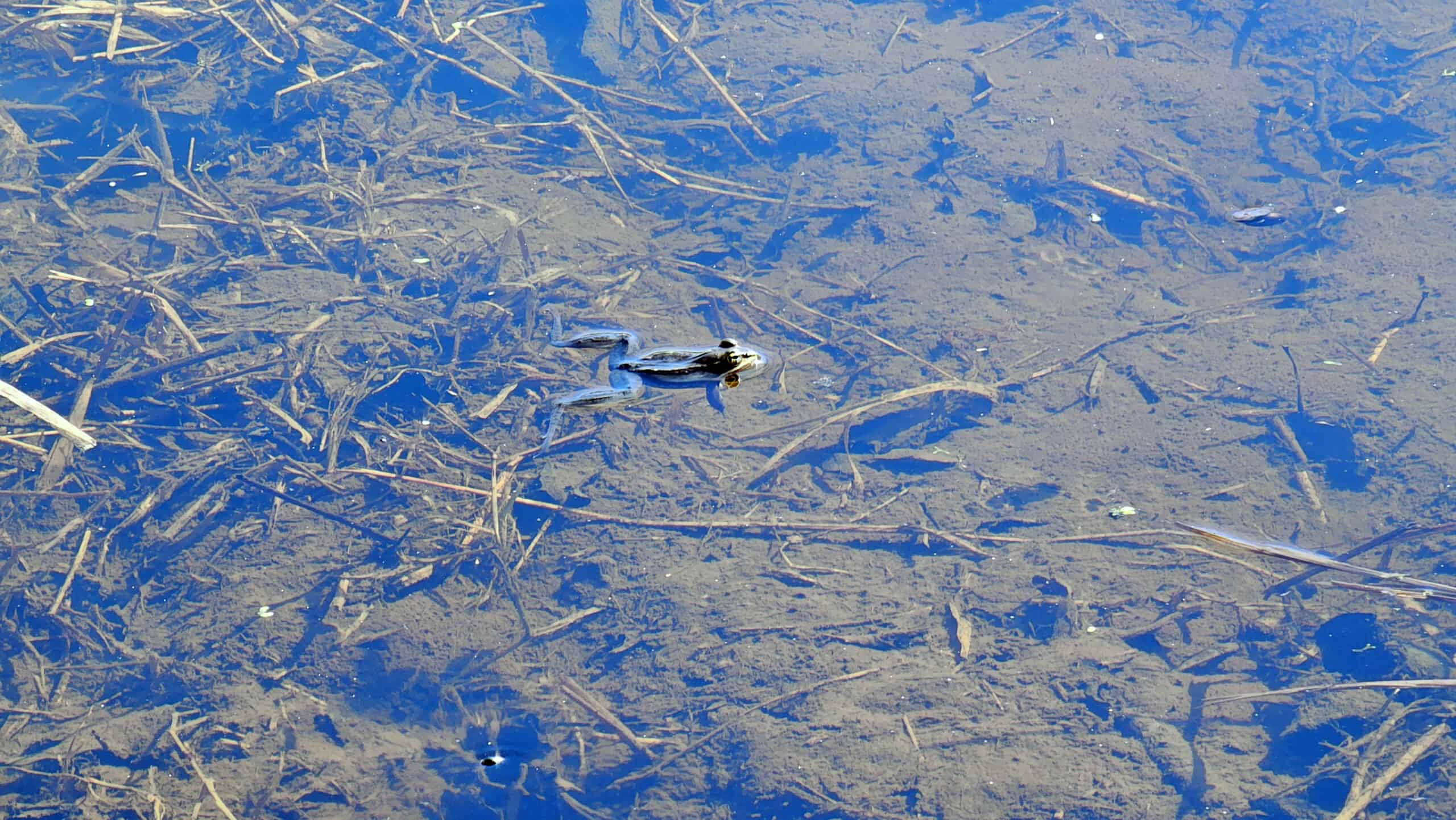
This is also a popular place where visitors come to feed the chickadees. While some conservation areas discourage any kind of animal feeding, this is an approved activity by the Grand River Conservation Authority. There are also some bird feeders (and chipmunk feeders!) set up for the local wildlife.
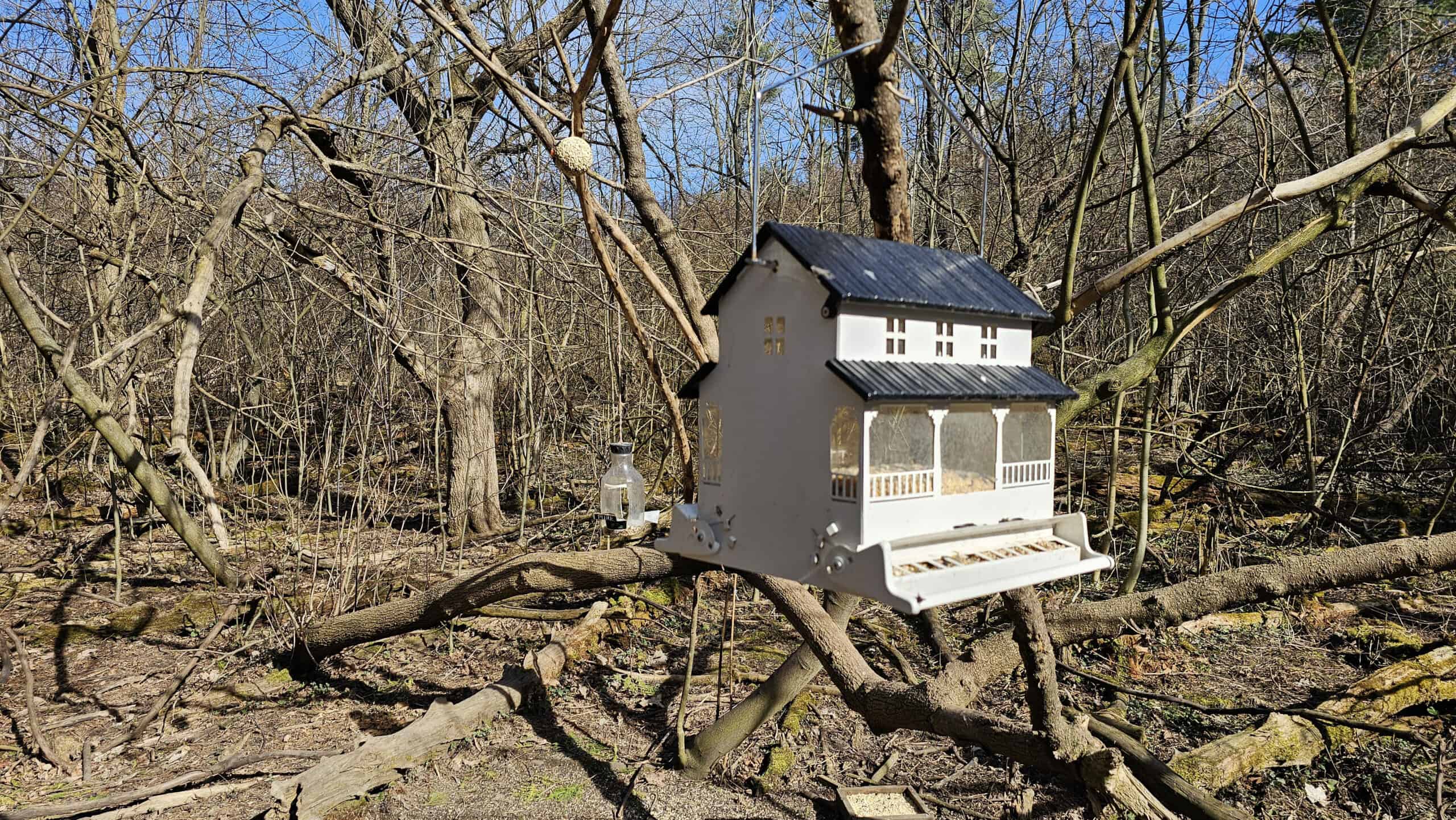
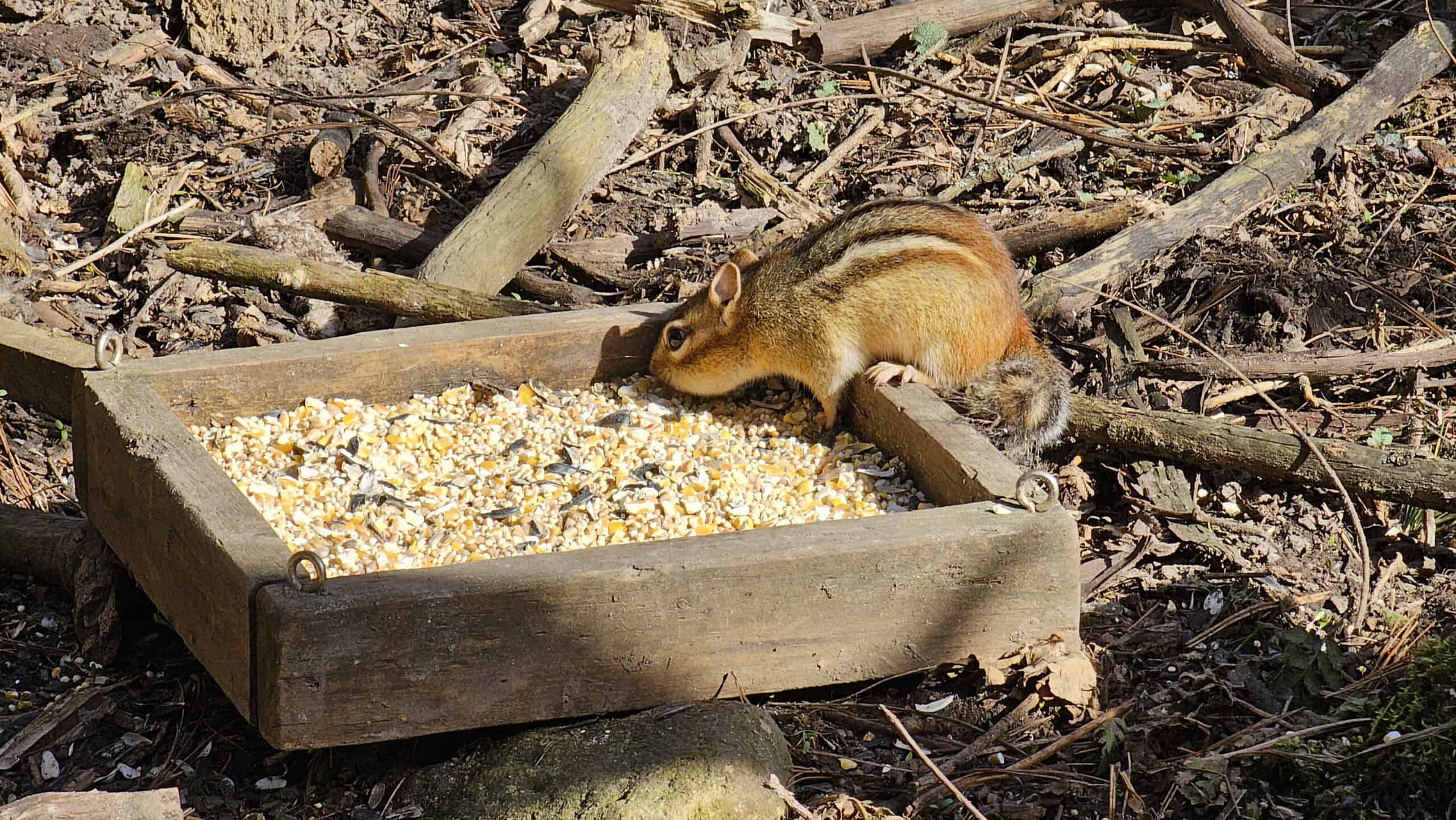
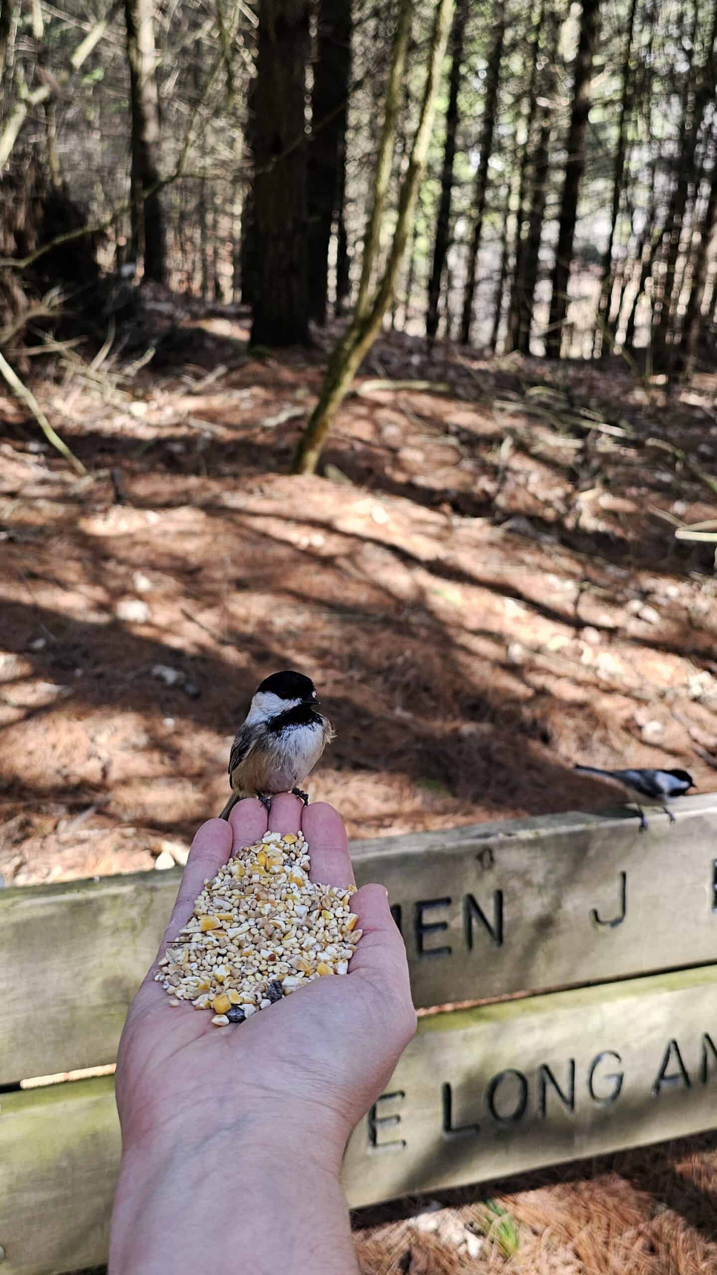
Place a small amount of birdseed in your hand, hold out your hand, and stand very still. Soon enough, you may have a chickadee or two enjoying the all-you-can-eat seed buffet! Please only feed birdseed to the birds (never feed bread to birds as it is harmful for them to consume).
Plan Your Visit
Starkey Hill Conservation Area is 100% free to visit. There’s a parking lot that fits about 20 cars, just off Arkell Road. On a weekend or holiday, the parking lot does fill up, so it pays to visit a little earlier in the day. Parking is free, too.
If the parking lot fills up, you can park at the roadside on Arkell Road. There aren’t any facilities or restrooms at Starkey Hill, so be sure to plan your bathroom breaks in advance. This is a dog-friendly / pet-friendly trail, just as long as you keep your furry friends on a leash.
What to Bring on a Hike
A proper pair of hiking shoes is an absolute must. It’s also a good idea to bring sunscreen and lots of water, too. My water bottle of choice is the GRAYL Purifier because you can drink ANY water from any source, no matter what. Water from lakes, streams, rivers, public restrooms, you name it. It’s the world’s fastest portable purifier.
Don’t forget to pack some bug spray because there can be biting bugs depending on the time of year. Even if there aren’t any signs, it’s safe to assume that ticks are all over Ontario hiking trails. Protect yourself against ticks by reading our guide to avoiding ticks on the trails.
For amazing deals on hiking products like backpacks, boots, clothing, and gear, check out the Decathlon Canada shop!
More Hiking Trails in Huron, Perth, Waterloo & Wellington Counties
Looking for more hikes southwest of Toronto? Here are some more great places to go hiking in Huron, Perth, Waterloo and Wellington Counties.
- Elora Gorge Conservation Area
- West Perth Thames Nature Trail
- Huron Natural Area (Kitchener)
- TJ Dolan Natural Area (Stratford)
- Preservation Park in Guelph
- Rockwood Conservation Area
- Dryden Tract
More Hiking at Grand River Conservation Authority Trails
Here are all of the Grand River Conservation Authority properties, including their parks, conservation areas, and trails with links to the ones I’ve visited so far:
- Apps’ Mills
- Belwood Lake
- Brant Park
- Brantford to Hamilton Rail Trail
- Byng Island
- Cambridge to Paris Rail Trail
- Conestogo Lake Park
- Dryden Tract
- Dumfries Conservation Area
- Elora Cataract Trailway
- Elora Gorge Conservation Area
- Elora Quarry
- FWR Dickson Wilderness Area
- Guelph Lake Park
- Hanlon Creek Trail
- Laurel Creek Conservation Area
- Luther Marsh Wildlife Management Area
- Pinehurst Lake
- Rockwood Conservation Area
- SC Johnson Trail (Paris to Brantford)
- Shade’s Mills
- Snyder’s Flats
- Starkey Hill
- Taquanyah Conservation Area
- Woolwich Reservoir
| Follow Ontario Hiking on Social Media! Instagram | Facebook | Twitter | Pinterest | Newsletter | Join the Community |
Become an Ontario Hiking Supporter!
Join the Ontario Hiking Patreon and you’ll become a VIP member of the Ontario Hiking community! You’ll receive ad-free, downloadable hiking guides with new guides added weekly. Plus, there are many more perks! Become an Ontario Hiking Supporter today!
I’m interested in camping and hiking. Can you please give a list of campgrounds.
Hi Brenda! I’d look into the camping at Rockwood Conservation Area. It’s not too far away and there are some nice trails there, too. Check out our blog post: https://ontariohiking.com/rockwood-conservation-area/