The Top of the Giant Trail is one of the most iconic hikes in Ontario. Located at Sleeping Giant Provincial Park, about an hour outside of Thunder Bay, it's one of the best hikes in Thunder Bay and the entire province.
This trail is not a walk in the park; it's one of the most challenging trails in Ontario. After all, these are the highest cliffs with the tallest vertical drop in Ontario. Plus, there's no easy way up. It's about a 23km trek from start to finish with a section of that being the ascent to the top.
Of course, you'll find the Top of the Giant and Sleeping Giant Provincial Park on my list of the top 100 hiking trails in Ontario. After hiking this trail, I feel really accomplished to have completed it. It's been on my Ontario hiking bucket list for such a long time.
In this guide, I'll show you exactly how to hike the Top of the Giant. I'll go into detail about what you can expect on the trail, including determining whether or not you should tackle this one. Plus, I'll tell you everything you need to know before hitting the trails.
Top of the Giant Trail Quick Facts
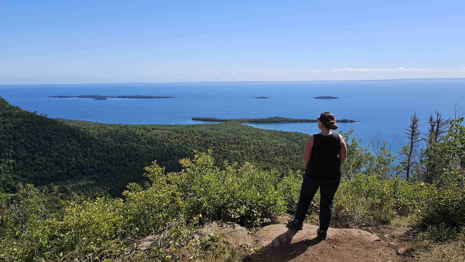
Here are a few facts about the Top of the Giant Trail at Sleeping Giant Provincial Park.
Getting There: To reach the Top of the Giant, you'll hike on the Kabeyun Trail (with an optional detour to the Sea Lion Trail and back), the Talus Lake Trail, and the Top of the Giant Trail. Then, turn around and walk back to where you started.
Length of the Hike: 22km roundtrip, 23km if you add the Sea Lion Trail
How Long it Takes: With stops for a snack, lunch, and photos, I spent 8.5 hours hiking the Top of the Giant. It can take anywhere from 6 hours (especially if you bike the first section) to 10 hours to complete. Please be mindful of when the sun goes down as you don't want to be left hiking in the dark.
Elevation Gain: 950 feet (290 meters)
Dog-Friendly: Yes, it is dog-friendly. Please keep your dogs on a leash, and only attempt this trail if you think they wouldn't mind walking 23km with this steep elevation gain.
Cost: Use your Ontario Parks annual day pass or pay the day rate to access the park. Make your booking reservation up to five days in advance at the Ontario Parks reservation page. This is a popular park, so I suggest booking it ahead of time to avoid disappointment.
Top of the Giant: A Complete Trail Guide
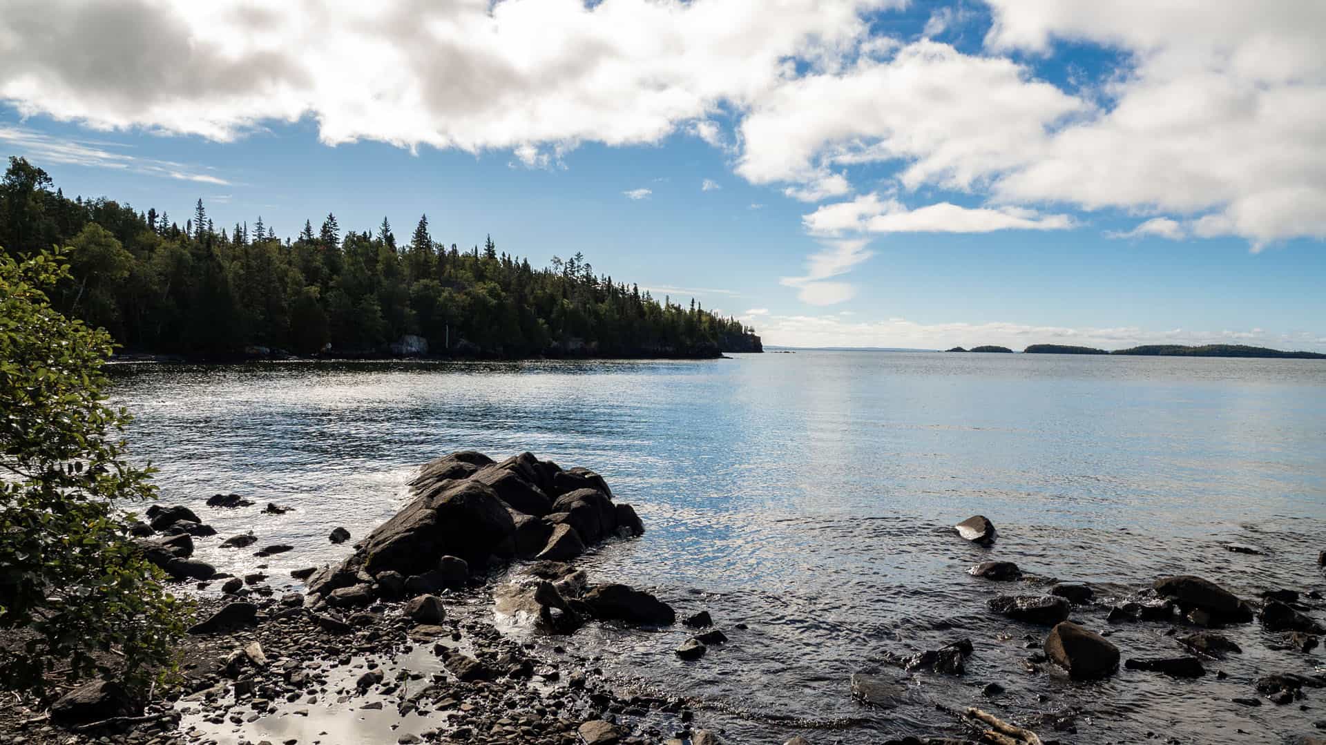
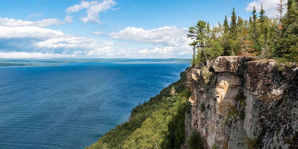
While this is one of the most challenging trails in Ontario, it's one of the most rewarding. There aren't any views quite like the ones from the Gorge at the very top, overlooking the deep blue waters of Lake Superior.
Start your day at the Kabeyun South Trail Head parking lot. There's plenty of parking here, as well as two basic, rustic restrooms. I began hiking on the Kabeyun Trail towards the Sea Lion Trail.
Sea Lion Trail
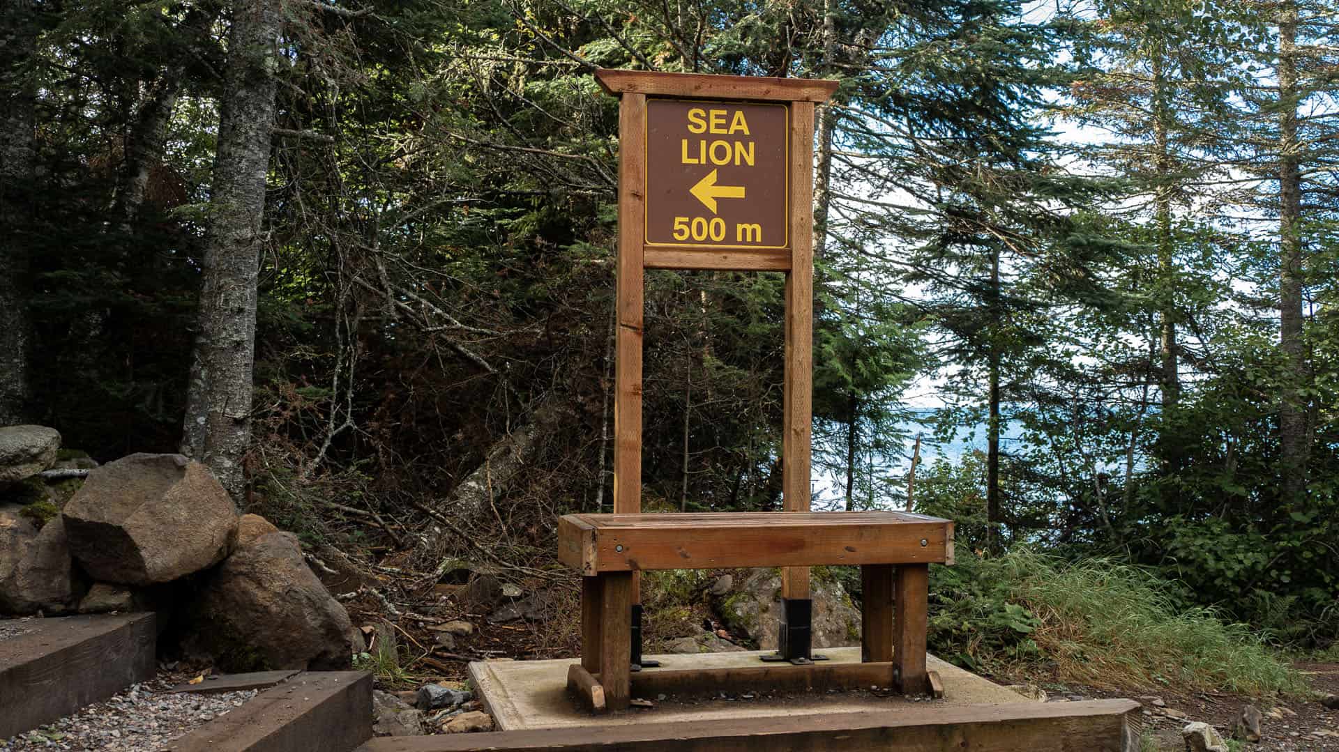
The Sea Lion Trail is 1.2km from the parking lot. It's a bonus side trail from a journey to the Top of the Giant, and it's a worthwhile detour.
If you decide to add the Sea Lion Trail to your trip, it's an additional 0.8km. So, not too far, and the views at the end of the Sea Lion Trail are very rewarding.
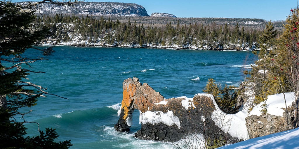
The Sea Lion Trail wraps around part of Perry Bay. As you approach the Sea Lion rock formation, there are a few signs that will detail some of the geologic history of the region.

The Sea Lion rock formation is a natural rock arch that formed over a billion years of erosion. It used to actually resemble a sea lion before the 1900s, but its “head” fell off one day. The waters of Lake Superior continue to weather and sculpt the rock archway, and it will eventually fully collapse into the lake.
Why not admire it while it's still here? The Sea Lion Trail reaches a dead end at the rock formation. Turn around and hike back to the Kabeyun Trail.
Kabeyun Trail: To Hike or to Bike?

The distance from the Kabeyun Trail to the Talus Lake Trail is 6.5km. This is a relatively flat path, though there are a few small inclines and declines. It's mostly a walk through the forest.
It can also be quite rocky. There are small rocks that protrude from the path. These can feel a bit hard on the feet once you've hiked over 20km and you're heading back.
Since it is pretty flat, some people choose to ride their bikes on the first section of the trail. Once you reach the Talus Lake Trail, there's a bike rack where you'll need to leave your bike behind. This is where you will have to hike since the trail only goes up and up from here.
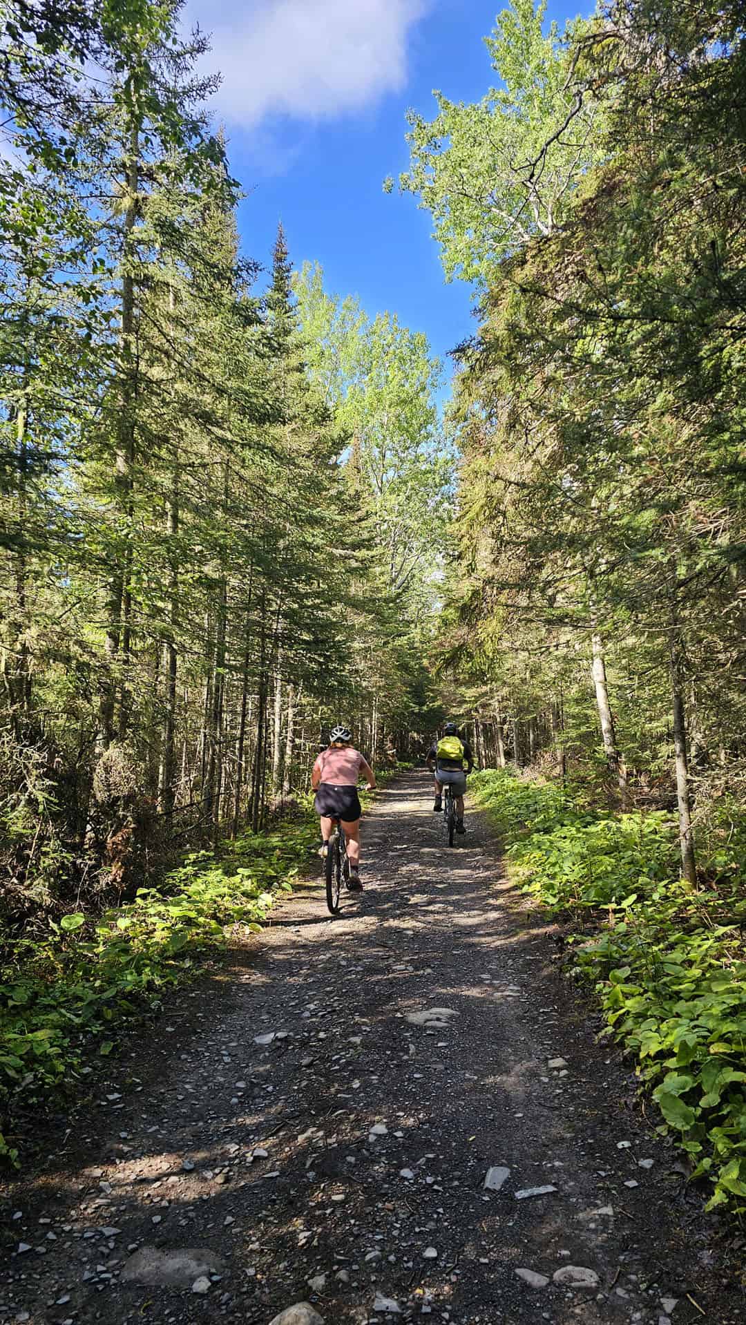
I hiked the entire trail, all 23km from start to finish. If you choose to bring a bike, the first and last 6.5km can be done on the bike. Just watch out for those rocks. There might be times where you'll need to walk your bike on parts that are really rocky.
There are bike rentals available at the Silver Islet General Store, though it would add time to your trip to cycle from Silver Islet. In addition, the Silver Islet General Store doesn't open until 12:00pm, which is a pretty late start for this trek. I suggest bringing your own bike if it's possible. Or, simply walk the entire distance like I did!
Tee Harbour Junction

I will also make a small mention that Tee Harbour is located along the trail. Some choose to camp at Tee Harbour in order to break up the hike. Walk the first 6km or so, camp at Tee Harbour, and then make the trek the following day.
This is back country camping, and it will need to be reserved ahead of time. You will also need to carry your gear out to the campsite from the Kabeyun South Trail Head parking lot (6km in each direction).
The Top of the Giant hike is an amazing day hike in Ontario and it can be done within a day, no camping required. But, feel free to add on some camping if you wish to do so. There are other campsites throughout Sleeping Giant Provincial Park, as well as cozy cabins (these book up pretty quickly!).
Talus Lake Trail
From the Kabeyun Trail, continue walking another 1.5km on the Talus Lake Trail. This trail doesn't have too much elevation by comparison to what's coming up next, the Top of the Giant Trail.


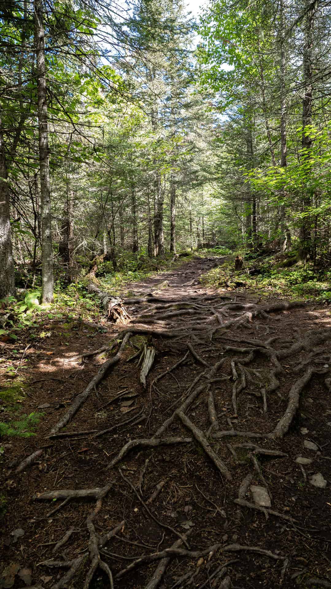
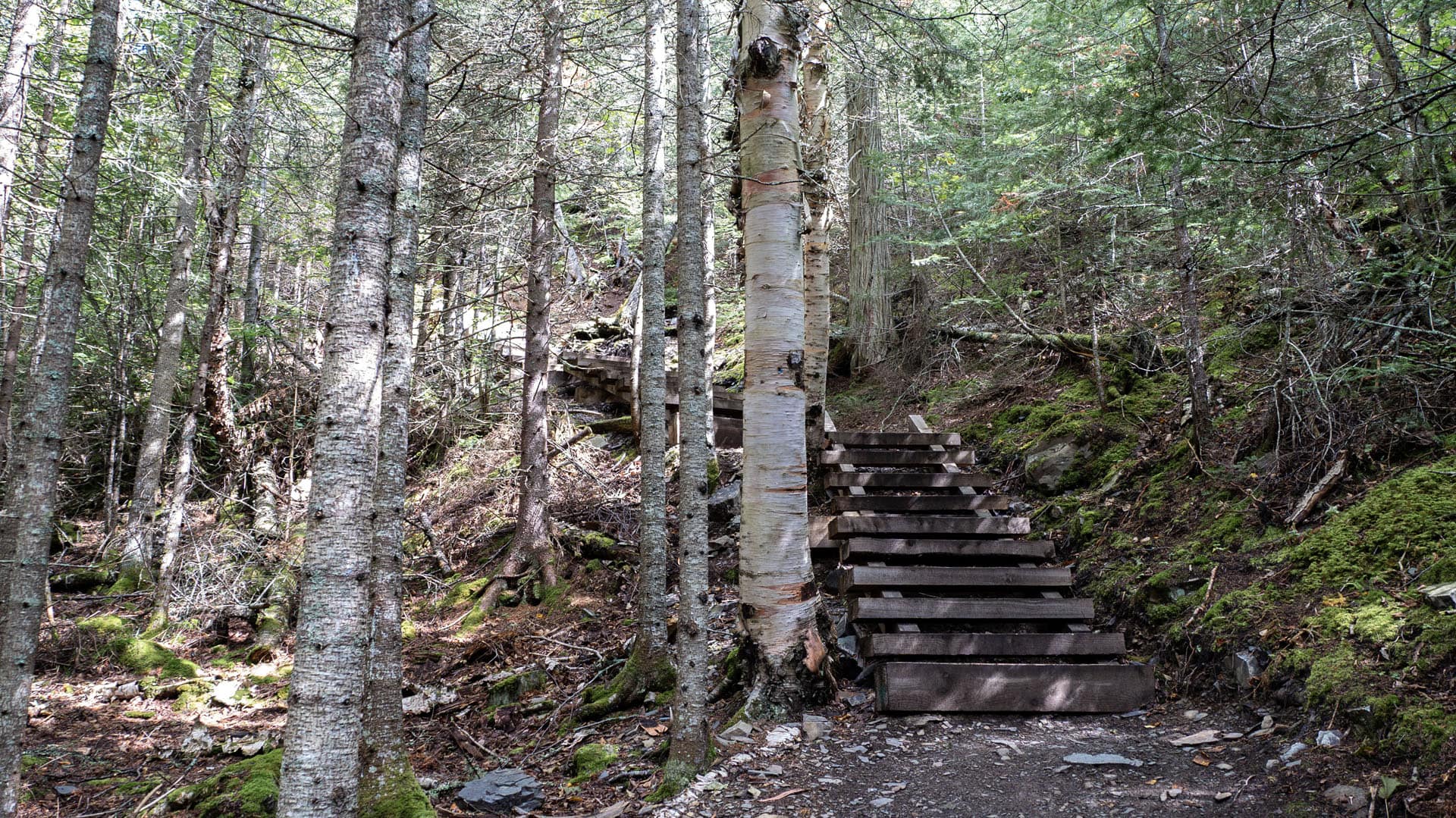

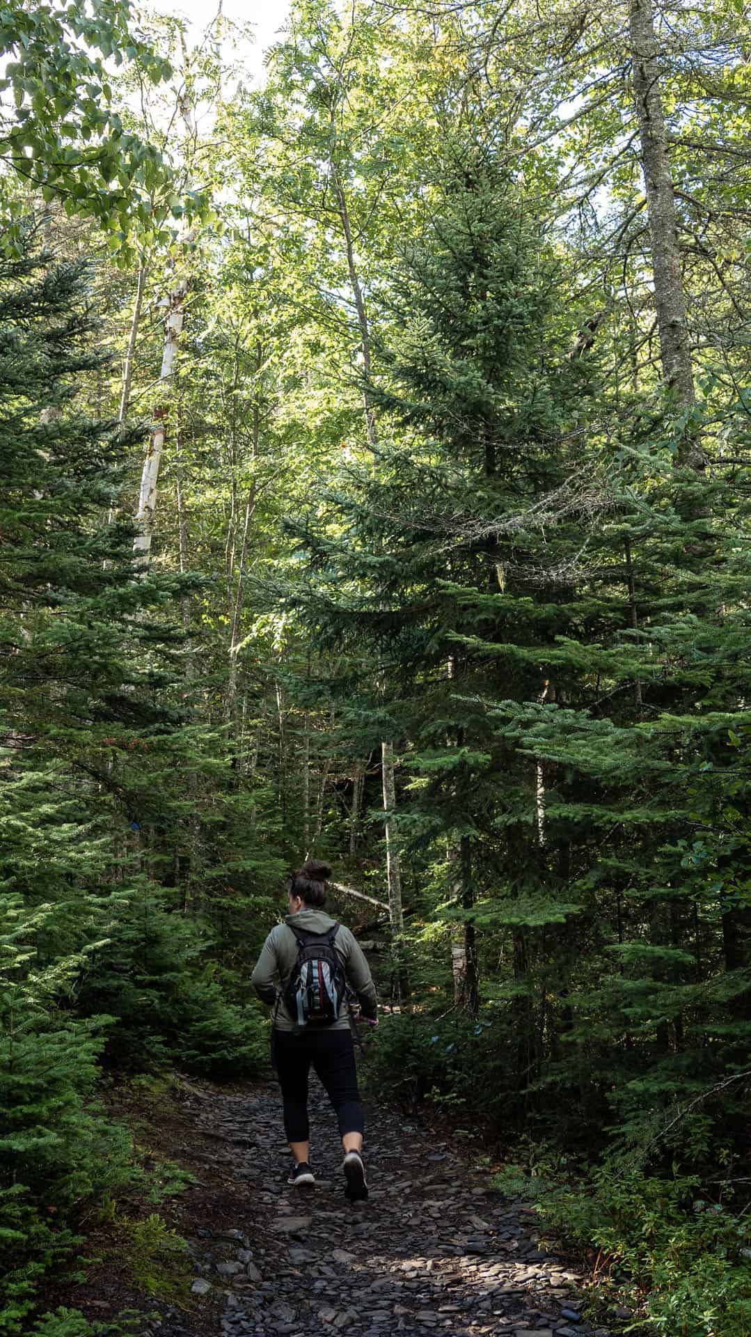
There are some wooden staircases to help the ascent, as well as some hilly sections. This is where the adventure truly begins!
Top of the Giant Trail
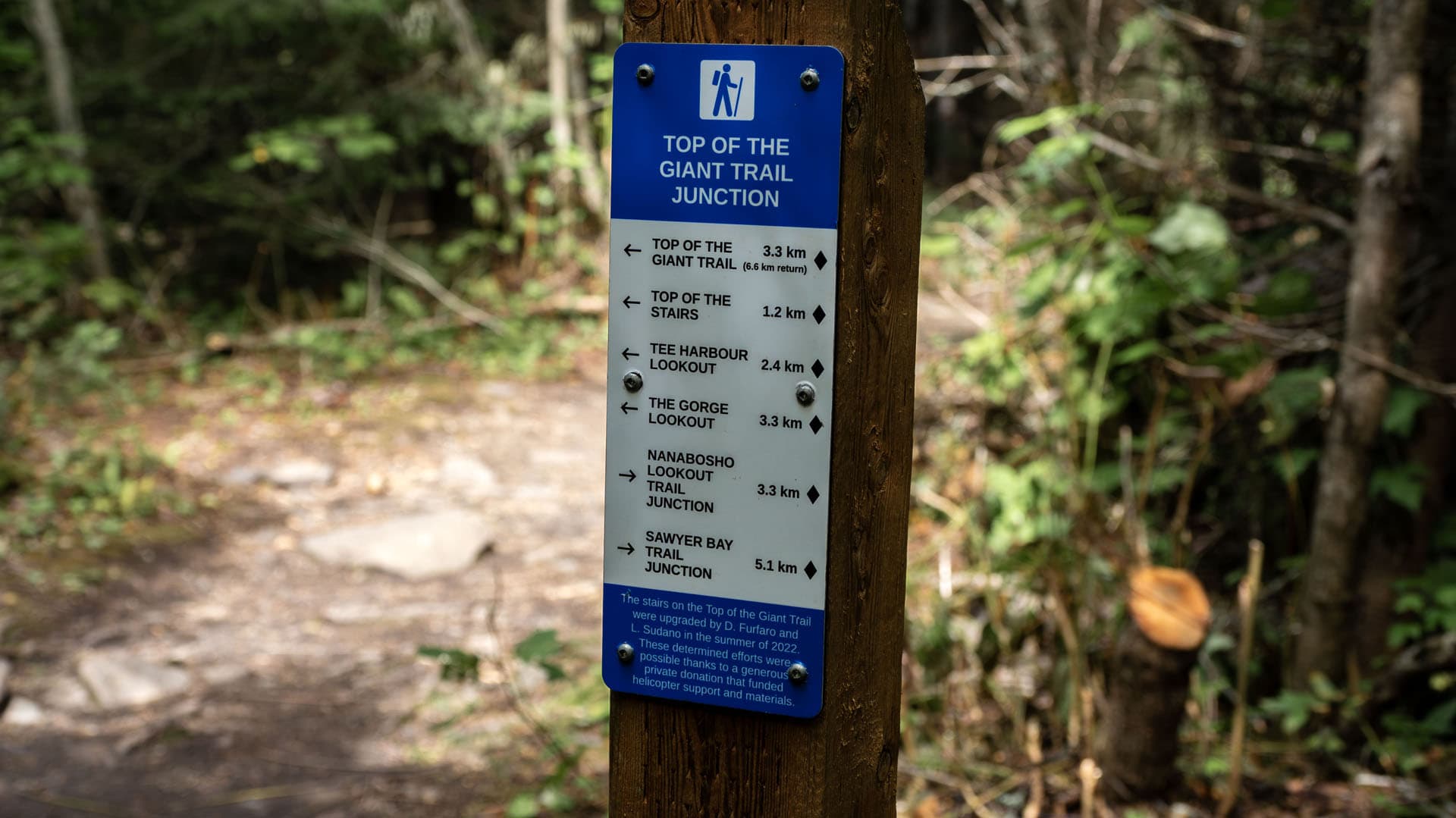
It's time to climb! I'm not going to lie, the Top of the Giant Trail is a tough one. You'll climb up and up and up. There are multiple switchbacks, staircases, and ascents as you make your way to the lookouts.
Here's a trick that I learned from my hiking guide in Scotland. Don't hike too fast up the hill that you get out of breath and need to stop.

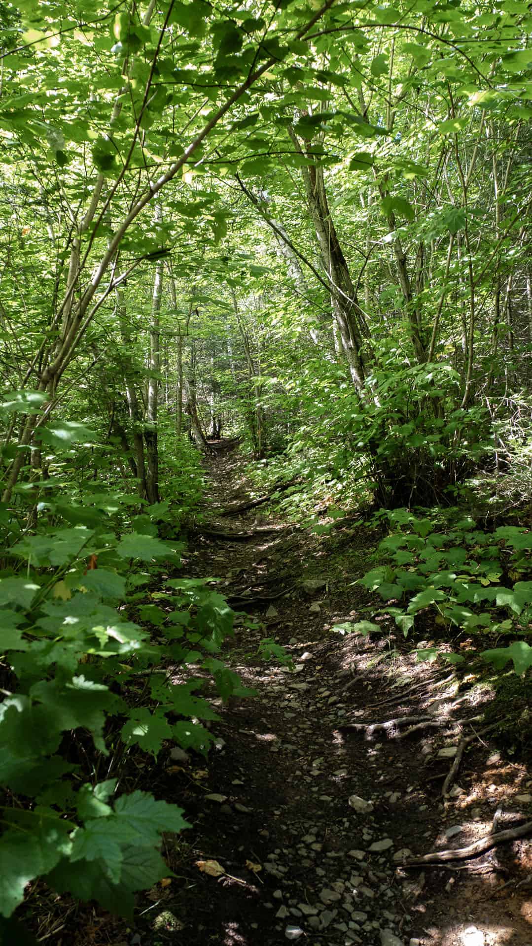

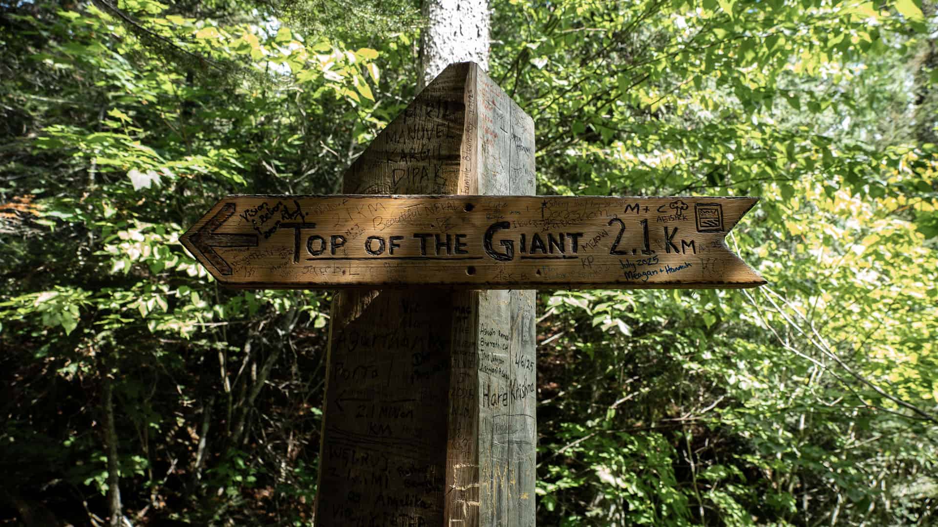
It will take more time to make the hike if you climb fast and then stop. You'll be waiting longer for your heart rate to come back down each time. Instead, hike at a very slow pace (even if it seems too slow!) so you can walk steadily up the mountain without stopping.
In the end, you'll get there faster! Slow and steady wins the race.
Lookouts and Tee Harbour Lookout
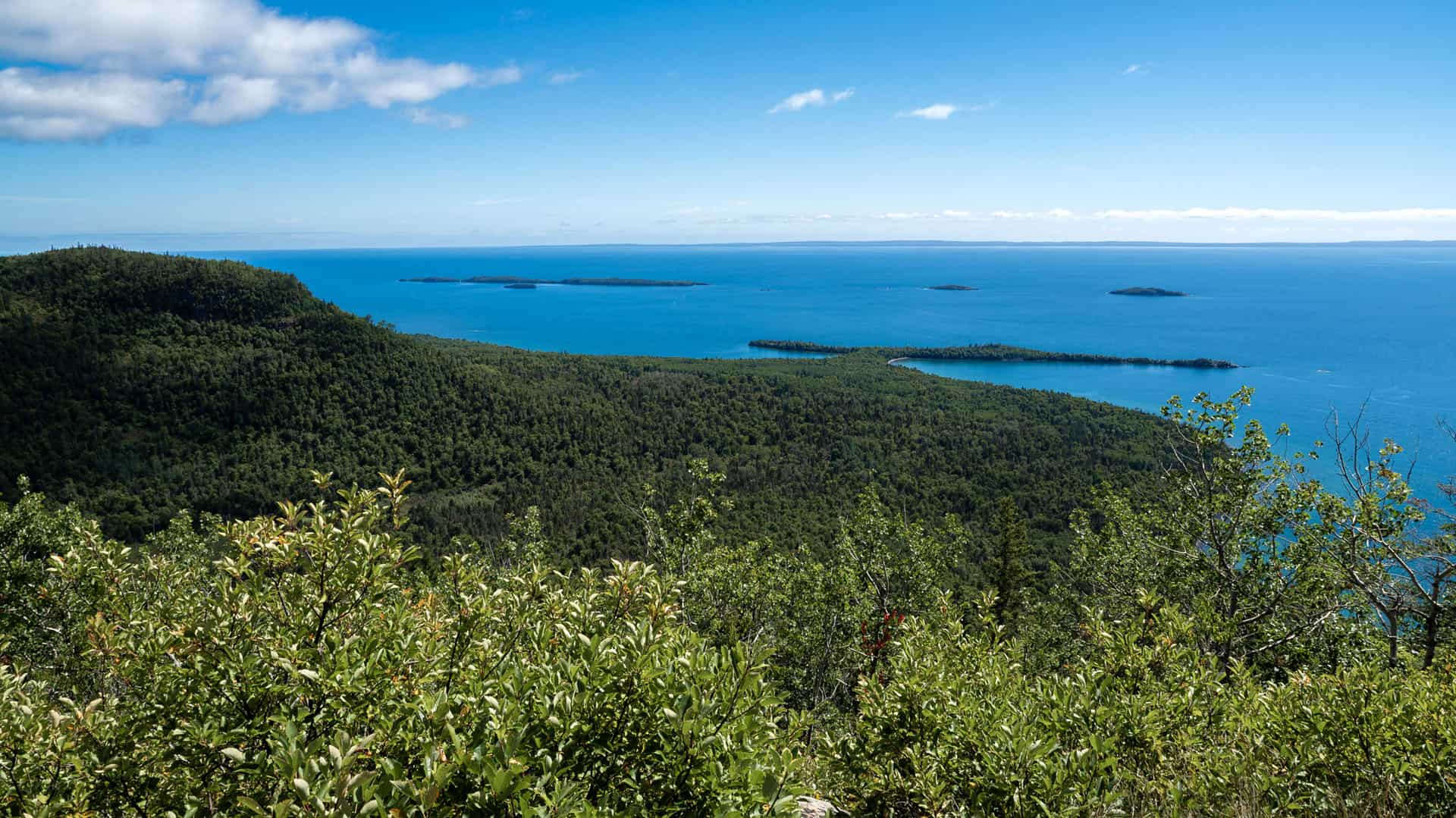
There are a couple of lookouts on the way. I should mention that the majority of this hike is through the forest and you won't need to worry about getting too close to the edge. For those with a fear of heights, don't worry!
There are some lookouts, including the spectacular Tee Harbour Lookout. There is a great spot to stop for lunch with one bench, along with stunning views of Lake Superior and the surrounding area.


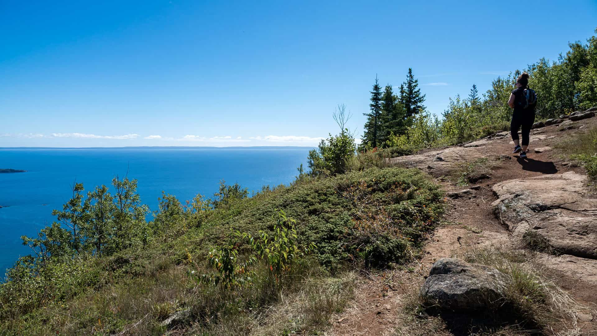
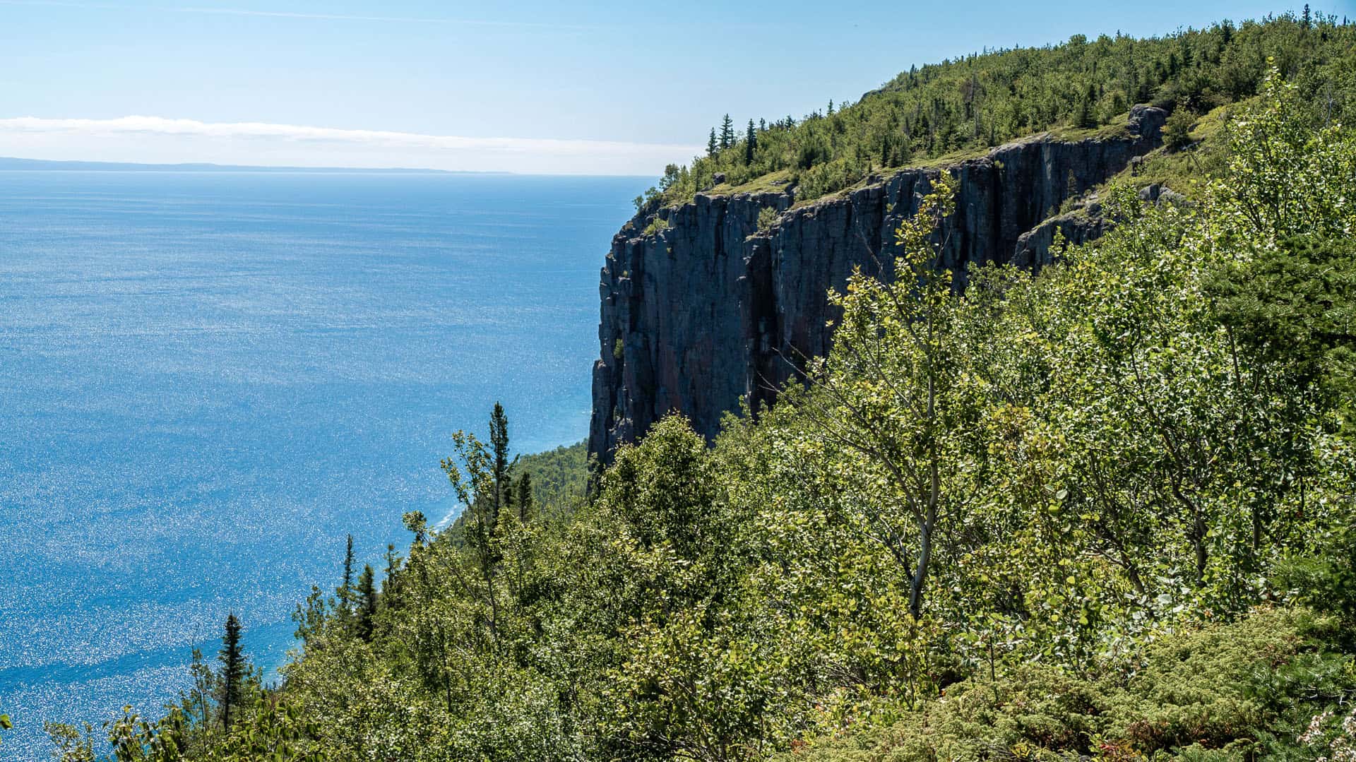
There's also a toilet. In fact, there are a few toilets on the way. These aren't what I'd call restrooms by any stretch of the imagination. They're thunder boxes with a toilet seat on top, completely open in the woods.
They are a short jaunt off the trail, but you will be using the toilet, open in nature. I'd have someone keep watch from the trail, just to avoid any embarrassing situations! Also, bring your own toilet paper.
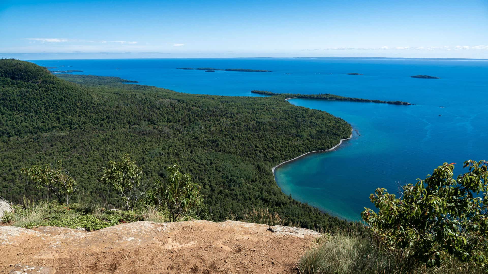
Some people think that the Tee Harbour Lookout is the end of the trail and the final lookout. However, this isn't the case. It's another 0.9km walk to the Gorge, which is the end of the trail and the spectacular chasm and cliffs you absolutely need to see.
The Gorge
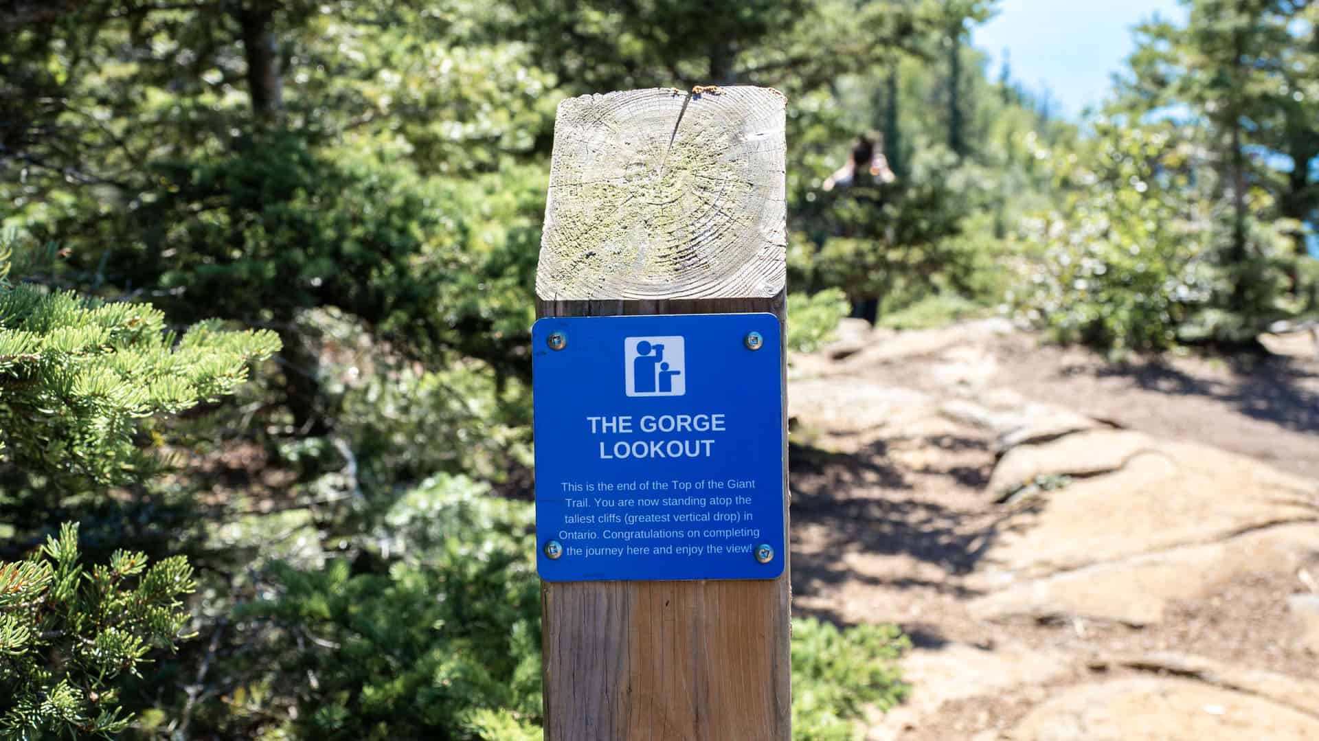
This is the place you've likely seen featured in photos! It's the most magnificent lookout. Congratulations, you've reached the Top of the Giant!
These are the tallest cliffs and the highest vertical drop in all of Ontario. Admire the chasm and the scenery behind this staggering view.

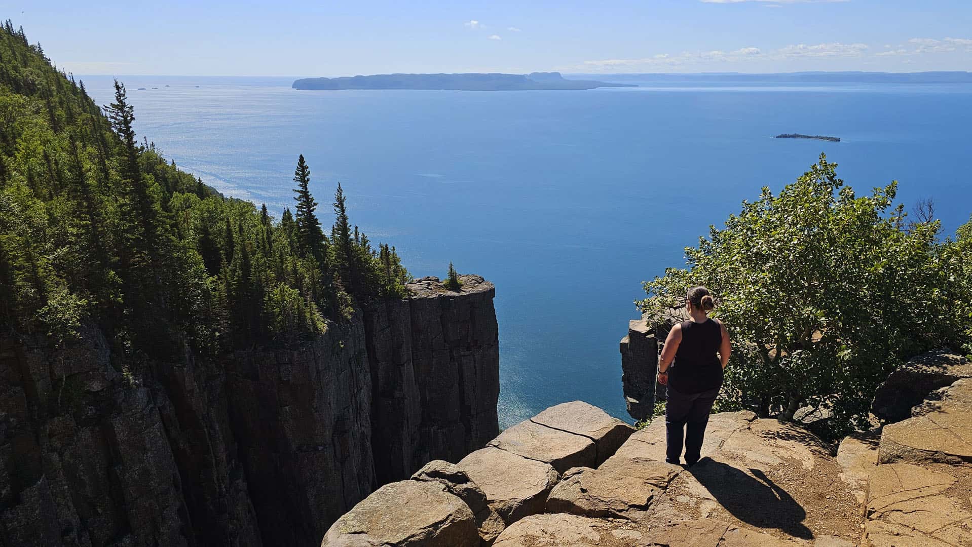
Trust me, it looks even more wild in person than it does in photos. It's a place you need to see with your own eyes.
These cliffs are HIGH and there aren't any fences or barriers. Be sure to keep a safe distance from the edge. There are a couple of different lookout points if you walk along the cliff. Spend some time here and soak up the scenery!
Then, it's time to turn around and hike back to where you started.
The Best and Worst Parts of This Hike
Of course, the best part of this hike is reaching the very top. The Tee Harbour Lookout is beautiful, but nothing compares to the Gorge Lookout. Those cliffs are incredible.
As for the worst part of the hike, it has to be the return trip on the Kabeyun Trail. This is a very long, pretty flat walk back, but it's quite boring.
There are bends in the trail, and with every turn, you're hoping to see the small wooden bridge and the sign for the Sea Lion Trail (a sign that you're only about 1km or so from the parking lot). We walked and walked and it felt like an eternity!
Finally, the bridge appeared and I was thrilled. My feet were aching by this point, exacerbated by the pointy rocks on the trail. As we walked past the Sea Lion Trail Head, there were some inclines that I don't remember at all from the beginning of the day (likely because they were declines at that point).
There's a hill...and another hill...and by this point we're cursing this trail. Finally, at last, the parking lot comes into view. Success!
I felt so incredibly accomplished to have hiked the Top of the Giant Trail. It's the longest hike I've ever completed in Ontario, and seemingly on par with some of the more difficult ones that I've done in Scotland and other places in the world.
If you're visiting Thunder Bay, be sure to set aside a day to go hiking at Sleeping Giant Provincial Park and tackle the Top of the Giant Trail.
Wildlife on the Top of the Giant Hike
The only wildlife we spotted were chipmunks, red squirrels, and an assortment of birds. Listen to the sounds of the birds and break out your Merlin app to help identify which ones you're hearing.
Please note that there isn't any cell reception for the duration of the hike.
Is the Top of the Giant Trail Easy to Follow?
One common question I've received since posting about this hike on Ontario is, "is the hike easy to follow?" Another one is, "will I need AllTrails?".
The simple answer is, yes, it's easy to follow. And no, you won't need AllTrails.
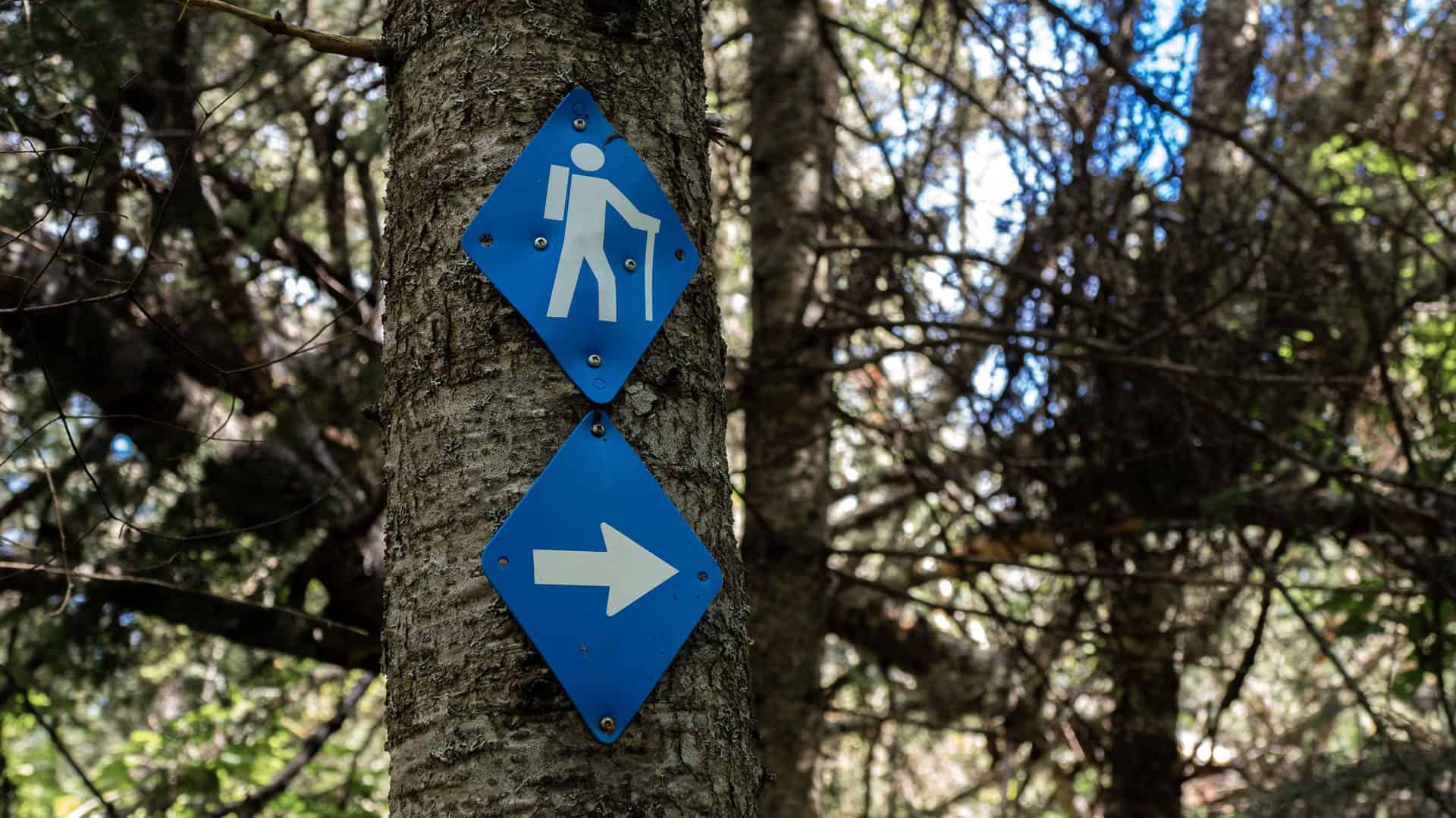
These hiking trails are well marked and easy to follow. While there aren't too many trail blazes or markers on the trees, there are sign posts at each junction. There's a sign post at the Sea Lion Trail, Tee Harbour Junction, South Talus Lake Junction, and Top of the Giant Trail.
If you follow the direction of the Top of the Giant Trail, there's really only one way up and one way back down. It's pretty difficult to get lost!
Best Time of the Year to Go Hiking Here

June to October are the best months to hike the Top of the Giant Trail. June and July will be more buggy than other months.
I hiked at the end of August and there were some bugs, but it wasn't too bad. It wasn't too hot out either! I'd say that the end of August is the perfect time of year to tackle the Top of the Giant.
September and October will bring cooler weather and some fall colours. You will need to be more mindful of when the sun goes down and start your hike earlier in the day than the summer months.
I wouldn't hike here in the spring as the trails will be far too muddy. It's also not recommended that you hike here at all in the winter. The Kabeyun Trail and the Sea Lion Trail are fine for the winter, but the conditions for the Top of the Giant Trail are not suited for winter hiking.
Should You Hike Here?
Ultimately, that's up to you. Ontario Parks rates this one as difficult, and I'd have to agree.
If you are a beginner hiker, you might want to work your way up to this one by tackling longer distance trails (and The Bruce Trail) or hikes with a bit of an elevation (The Crack Trail at Killarney Provincial Park, which is far shorter but has some elevation).
If you decide to take it slow and make a day of it, I feel that most hikers with a reasonable amount of fitness can hike the Top of the Giant Trail.
Make sure you wear proper hiking shoes, bring way more water than you think you'll need, and pack a lunch with several snacks.
Any questions? Please feel free to ask them below and I'll try my best to help!
Looking for more things to do in Thunder Bay? Check out my complete guide to Thunder Bay on my sister blog, Justin Plus Lauren!
Join the Ontario Hiking Facebook Group
You are also welcome to join our Ontario Hiking Facebook Group - it's a great way to ask questions about hiking in Ontario, share your Ontario hikes, and get inspired!
Come Hiking With Us! Join an Upcoming Group Hike or Tour!
We are so excited to have group hiking adventures within Ontario and beyond. Learn more about how you can join us for a group hiking trip.